


Regional DRRM units told to prepare for Gardo, super typhoon Hinnamnor
MANILA, Philippines — The National Disaster Risk Reduction and Management Council directed all regional disaster risk reduction officials in affected regions to prepare in connection with the current weather systems affecting the country.
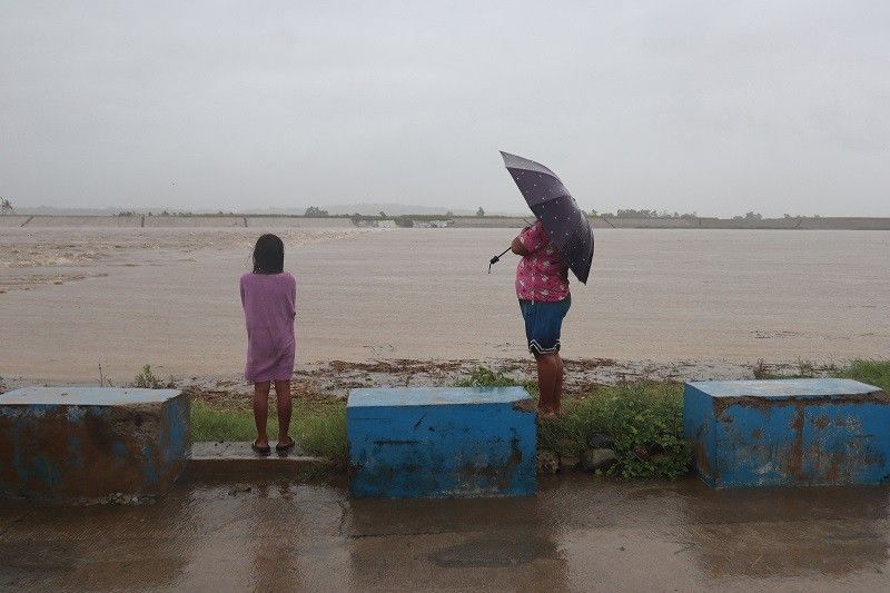
In a statement sent to reporters late Wednesday afternoon, the NDRRMC said that it "encouraged" its offices in the regions to initiate pre-disaster risk assessment efforts "as needed."
This comes amid the oncoming Tropical Depression Gardo and Hinnamnor, the super typhoon still outside the Philippine area of responsibility as of press time but is expected to enter the country's jurisdiction by Wednesday night or early Thursday morning.
"It has also issued a directive for the concerned to monitor closely the warning and other advisories issued by [the Philippine Atmospheric, Geophysical and Astronomical Services Administration], [Mines and Geosciences Bureau], and other surveillance agencies," it said.
"Strengthening risk communication and localizing the warning to communities within respective areas of responsibility have been advised."
As of this writing, neither the Civil Aviation Authority of the Philippines nor the Manila International Airport Authority have issued advisories on suspended flights.
In an 11 a.m. advisory, the MIAA, which operates the four passenger terminals of the Ninoy Aquino International Airport, said that flight operations at the airport resumed flight operations after Pagasa lowered the Lightning Red Alert to Yellow.
According to state weather bureau Pagasa, the Ilocos Region, Cagayan Valley, and Cordillera Administrative Region are projected to be most affected and within the path of the storms.
Because it is far from the Philippine landmass, the tropical depression is unlikely to have a direct effect on the country’s weather conditions and the conditions of coastal waters.
Hinnamnor may reach a peak intensity of 205 kph within 24 hours before it gradually weakens as it enters its quasi-stationary phase. It may be downgraded to the typhoon category by Friday.
According to the 2020 World Risk Index, the Philippines ranks ninth in the world as the most affected country by extreme weather events.
— with a report from Gaea Katreena Cabico


- Latest
- Trending


