Almost stationary ‘Hanna’ now a severe tropical storm
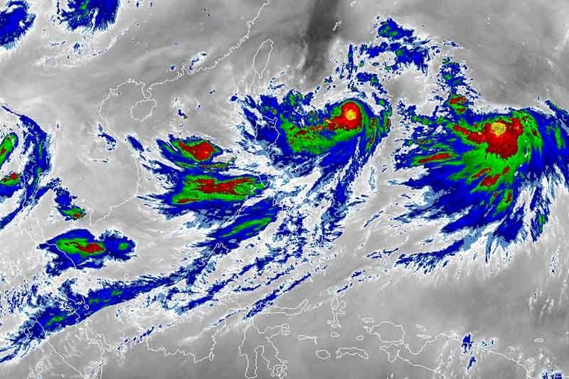
MANILA, Philippines — “Hanna” (international name: Lekima) has strengthened into a severe tropical storm Tuesday morning but it remains less likely to hit any part of the Philippine landmass, weather forecasters said Tuesday morning.
Severe tropical storm Hanna packs maximum sustained winds of 95 kilometers per hour near the center from the previous 85 kph and gusts of up to 115 kph from the previous 105 kph.
“Hanna”—which has been moving almost stationary since early Tuesday morning—was spotted 795 km east of Calayan, Cagayan. Its almost stationary movement is expected to last within the next 24 hours.
The severe tropical storm is seen to develop into a typhoon on Thursday. It may leave the Philippine area of responsibility on Friday.
No tropical cyclone wind signal has been raised yet but weather forecasters warned that portions of extreme Northern Luzon may be placed under TCWS No. 1 if “Hanna” maintains its track or slightly goes down.
Moderate to heavy monsoon rains will affect Western Visayas, northern portions of Palawan—including Calamaian and Cuyo islands—Occidental Mindoro, Oriental Mindoro, Romblon, Cavite, Batangas and Laguna until Wednesday.
Meanwhile, residents of Metro Manila, Central Visayas and the rest of Luzon will have cloudy skies with scattered rain showers and thunderstorms.
PAGASA warned those with small sea vessels not to venture out over the seaboards of Luzon and Visayas, and northern and eastern seaboards of Mindanao due to potentially rough sea conditions.
The state weather bureau is also monitoring a tropical depression 2,245 km east of Northern Luzon—outside PAR. The weather disturbance packs maximum sustained winds of 55 kph near the center and gusts of up to 70 kph.
Moving northwest at 20 kph, the tropical depression is not seen to enter the country’s jurisdiction.
The low pressure area located 365 km west of Iba, Zambales is also not expected to develop into a tropical depression.
Forecast positions
- Wednesday morning: 565 km east of Basco, Batanes
- Thursday morning: 345 km northeast of Basco, Batanes
- Friday morning: 520 km north of Basco, Batanes
- Saturday morning: 785 km north of Basco, Batanes
- Sunday morning: 1,165 km north of Basco, Batanes


- Latest
- Trending