Tropical storm forms outside PAR
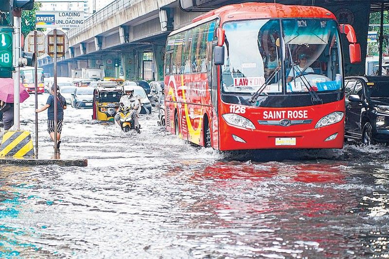
MANILA, Philippines — The tropical cyclone outside the Philippine area of responsibility (PAR), with the international name Dujuan, has developed into a severe tropical storm, the Philippine Atmospheric, Geophysical and Astronomical Services Administration (PAGASA) said yesterday.
Dujuan was located 2,190 kilometers east-northeast of extreme Northern Luzon, packing maximum sustained winds of 110 kilometers per hour near the center and gusts of up to 135 kph.
The storm is not expected to enter PAR within the next 24 hours as it moves west-northwestward at 30 kph.
Despite Dujuan remaining outside PAR, the southwest monsoon will continue to bring rains to southern parts of the country.
Cloudy skies with scattered rains and thunderstorms due to the monsoon will prevail over Western Visayas, Occidental Mindoro and Palawan.
The Negros Island Region and Zamboanga Peninsula will have partly cloudy to cloudy skies with isolated rainshowers or thunderstorms.
Metro Manila and the rest of the country will also experience partly cloudy to cloudy skies with isolated rainshowers or thunderstorms due to localized thunderstorms.
A low-pressure area was also monitored outside PAR, located 140 kilometers south of Pag-asa Island in Kalayaan, Palawan.
PAGASA said the LPA has an unlikely chance of developing into a tropical cyclone.


- Latest
- Trending