Batanes still under Signal No. 2 as 'Betty' moves slowly
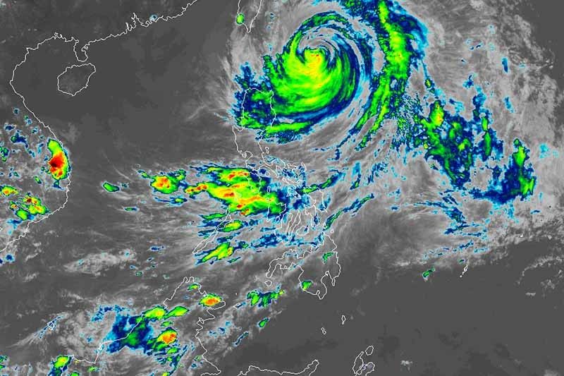
MANILA, Philippines — The island province of Batanes remained under Signal No. 2 as Typhoon Betty (Mawar) lingered over the waters off extreme Northern Luzon, state weather bureau PAGASA said Tuesday afternoon.
Betty was last located 315 kilometers east of Basco in Batanes, maintaining its peak winds of 150 km per hour near the center and gusts of up to 185 kph.
The typhoon was moving slowly over the waters east of Batanes. PAGASA said Betty’s slow movement may last until Wednesday.
Only Batanes remained under Tropical Cyclone Wind Signal No. 2. The cyclone’s strong winds may have minor to moderate impacts on the province.
Meanwhile, the following areas are under Wind Signal No. 1:
- Northern and eastern portions of Isabela (Santo Tomas, Santa Maria, Quezon, San Mariano, Dinapigue, Delfin Albano, San Pablo, Ilagan City, Benito Soliven, Tumauini, Cabagan, Palanan, Quirino, Divilacan, Gamu, Maconacon, Naguilian, Mallig)
- Apayao
- Eastern portion of Ilocos Norte (Piddig, Bangui, Vintar, Marcos, Pagudpud, Banna, Adams, Carasi, Dingras, Solsona, Dumalneg, Nueva Era)
- Northern portion of Kalinga (City of Tabuk, Balbalan, Pinukpuk, Rizal)
- Northeastern portion of Abra (Tineg, Lacub, Malibcong)
- Cagayan including Babuyan Islands
Residents of these areas should brace for minimal to minor impacts from strong winds.
Heavy rain
According to weather forecasters, the following provinces may experience up to 100 millimeters of rainfall until Wednesday afternoon:
- Batanes
- Babuyan Islands
- Ilocos Norte
- Ilocos Sur
- La Union
- Western portions of Abra and Benguet.
This may trigger floods and landslides, especially in areas highly susceptible to these hazards and in areas that experienced considerable amounts of rainfall recently.
The southwest monsoon (habagat) enhanced by Betty will bring scattered rain showers and thunderstorms to these areas:
- MIMAROPA
- Western Visayas
- Zamboanga Peninsula
- Rest of Ilocos Region, Cordillera Administrative Region and Cagayan Valley
The enhanced southwest monsoon and the outer periphery of the typhoon circulation will bring occasional gusts in the following areas in the next 24 hours:
- Bicol region
- Western Visayas
- Aurora
- Quezon province
- Mindoro provinces
- Marinduque
- Romblon
- Northern Samar
- Rest of CAR and Ilocos Norte
Betty is forecast to weaken steadily over the next five days due to cooler ocean waters, dry air intrusion, and increasing vertical wind shear. It may be downgraded into a severe tropical storm late Thursday or early Friday, and into a tropical storm late Friday or early Saturday.
The cyclone may leave the Philippine Area of Responsibility late Thursday or early Friday morning.
Forecast position
- May 31, 2023 2:00 AM - 320 km east of Itbayat, Batanes
- May 31, 2023 2:00 PM - 365 km east Northeast of Itbayat, Batanes
- June 1, 2023 2:00 AM - 435 km northeast of Itbayat, Batanes
- June 1, 2023 2:00 PM - 600 km northeast of Itbayat, Batanes
- June 2, 2023 2:00 AM - 780 km northeast of Itbayat, Batanes (outside PAR)
- June 2, 2023 2:00 PM - 940 km northeast of Extreme Northern Luzon (outside PAR)
- June 3, 2023 2:00 PM - 940 km northeast of Extreme Northern Luzon (outside PAR)
— Gaea Katreena Cabico


- Latest
- Trending