‘Mawar’ further intensifies as it nears Philippine area of responsibility
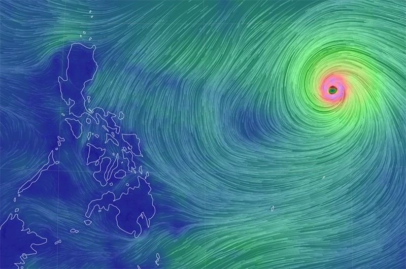
MANILA, Philippines — Super Typhoon “Mawar” continued to strengthen as it approached the Philippine area of responsibility, which it is forecast to enter by Friday evening or Saturday dawn.
State weather service PAGASA said Mawar, which will be named Betty once it enters the country’s weather monitoring area, currently packs winds of up to 215 kilometers per hour near the center and gusts of up to 265 kph as it moves at 20 kph west northwest.
It was last spotted 1,740 kilometers east of southeastern Luzon, PAGASA said.
PAGASA warned that Mawar may bring heavy rains over northern Luzon beginning Saturday, while it may enhance the southwest monsoon or habagat which can bring rains over the western portions of central Luzon, southern Luzon and Visayas starting Sunday or Monday.
The state weather service forecasts that Mawar will reach peak intensity in 24 to 36 hours, after which it may slightly weaken as it moves towards the waters east of extreme northern Luzon.
Mawar may weaken at a slightly faster rate by Monday or Tuesday due to “unfavorable conditions,” PAGASA said. — Xave Gregorio


- Latest
- Trending