Cyclone outside PAR can develop into super typhoon – Pagasa

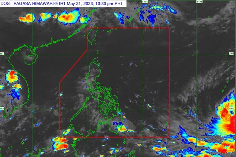
MANILA, Philippines — There is a possibility that the tropical cyclone outside the Philippine area of responsibility (PAR) will develop into a super typhoon once it enters the country, the Philippine Atmospheric, Geophysical and Astronomical Services Administration (PAGASA) said yesterday.
In a radio interview, PAGASA weather specialist Beni Estareja said that the weather disturbance with international name Tropical Storm Mawar was located 2,520 kilometers east of Northeastern Mindanao.
“We are not discounting the possibility that it will develop into either typhoon or super typhoon once it enters PAR,” Estareja said.
He said that Storm Mawar has maximum sustained winds of 85 kilometers per hour and gustiness of up to 105 kph.
“It continues to gain strength as it has now 85 kilometers per hour of sustained winds and is slowly moving north northwest at 10 kilometers per hour. It is expected to enter PAR later this week, possibly Friday or Saturday,” he added.
It will be called Betty once it enters PAR, Estareja added.
“Based on our landfall scenario, at present there is a low chance but it will go near extreme Northern Luzon. It can also enhance the habagat or southwest monsoon. Its radius could reach 100 kilometers, but the edge of the tropical cyclone is far,” he said.
Estareja said that rains are expected next week in many areas, especially the western side of the country because of enhanced southwest monsoon.
“The public may ask why there are still typhoons despite the expected El Niño. Strong typhoons are still possible,” he explained.
According to Estareja, there is no chance for the tropical cyclone to dissipate.
- Latest
- Trending


