Possible supertyphoon might enter PAR by May 26; PAGASA to call it 'Betty'

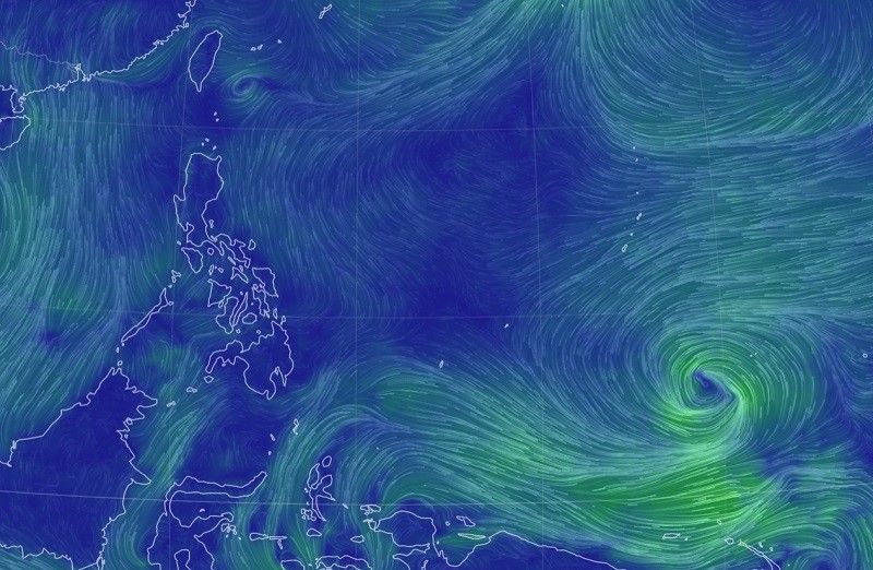
MANILA, Philippines — State weather bureau PAGASA is currently monitoring a tropical depression east of Mindanao, one that could possibly enter the Philippine area of responsibility next week.
According to DOST-PAGASA weather specialist Benison Estareja, the tropical cyclone was observed 2,510 kilometers east of Mindanao at around 3 a.m. on Saturday within the Inter-Tropical Convergence Zone (ITCZ).
- Maximum winds: 45 kilometers per hour near the center
- Gust: up to 55 kilometers per hour
- Movement: northward
- Speed: 20 kilometers per hour
"A former low pressure area outside [PAR] has now officially transitioned into a tropical cyclone... We expect that it will continue to strengthen in the coming days while in the middle of the ocean," said Estareja in Filipino during PAGASA's morning forecast.
"We also do not discount the possibility of it its further intensification into a typhoon or supertyphoon."
Meteorologists see the tropical cyclone moving north northwest by Sunday and finally earn an international name once it further intensify into a tropical storm.
In its present track, the tropical depression could possibly be within the vicinity of Guam anywhere from Sunday to Wednesday.
"This tropical depression, which could further strengthen, might enter [PAR] if it continues moving northwest by Friday or Saturday next week... Should this happen, we will give it the name 'Betty' or the second tropical cyclone for 2023, the first for the month of May," Estareja said.
"[If] this tropical depression continues with this track though, the possibility of it making landfall would be low. However, what we should monitor is its intensification of Habagat or the southwest monsoon affecting a large part of the country next week," he added.
The Philippines is continually experiencing rains still because of the ITCZ.
The country is expected to officially transition to the rainy season in the last days of May or early June starting next week.
- Latest
- Trending


