


Typhoon Kiko weakens further as it moves over waters off Batanes
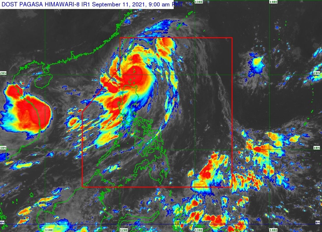
MANILA, Philippines (Update 2, 2:52 p.m.) — Typhoon Kiko (international name: Chanthu) has weakened further, six hours after making landfall over Ivana, Batanes on Saturday morning, according to state weather bureau PAGASA.
The typhoon now packs winds of up to 195 kilometers per hour (kph) and gusts of up to 240 kph PAGASA said.
In its latest bulletin, PAGASA said it expects Kiko to continue weakening as it interacts with the rugged terrain of Taiwan.
As of 2 p.m., the following areas are under PAGASA's Tropical Cyclone Wind Signals.
TCWS No. 4
(Very destructive typhoon-force winds prevailing or expected within 12 hours)
- Northern portion of Batanes
TCWS No. 3
(Destructive typhoon-force winds prevailing or expected within 18 hours)
- Rest of Batanes
TCWS No. 2
(Damaging gale-force to storm-force winds prevailing or expected within 24 hours)
- Northern portion of Babuyan Islands
TCWS. No 1
(Strong winds prevailing or expected within 36 hours)
- Rest of Babuyan Islands
- Northern portion of Cagayan
- Northeastern portion of Ilocos Norte
What to expect
In the next 24 hours, PAGASA said Kiko will bring heavy to intense with at times torrential rains over Batanes.
It added that moderate to heavy with at times intense rains are also likely over Babuyan Islands, Cagayan, Ilocos Norte, Ilocos Sur, Abra, Apayao and Kalinga.
Kiko is also enhancing the southwest monsoon or habagat, bringing monsoon rains over Metro Manila, the rest of Ilocos region and the western sections of central and southern Luzon.
PAGASA also warns of a moderate to high risk of life-threatening storm surge reaching two to three meters in the next 24 hours.
"Rising sea water along with the high waves from the shoreline moving inland may cause flooding in the low-lying coastal localities of Batanes and northeastern Cagayan including Babuyan Islands," the state weather bureau said.
It added that rough to phenomenal seas reaching 2.5 to 15 meters are expected in the next 24 hours over the seaboards of areas where TCWS is hoisted, making sea travel risky for all types of vessels.
Meanwhile, moderate to rough seas reaching 1.2 to 3.5 meters will be expected over the eastern seaboards of northern and central Luzon that are not under TCWS, making sea travel risky for those using small seacrafts.
A gale warning is up over the seaboards of Zambales, Bataan, the western seaboards of Palawan including Calamian and Kalayaan Islands, and Occidental Mindoro including Lubang Islands.
PAGASA said Kiko will move generally northward from Saturday night and pass over the sea east of Taiwan. The state weather bureau is not ruling out the possibility of landfall over Taiwan.
Forecast position
- Saturday evening: 135 km north of Itbayat, Batanes
- Sunday morning: 350 km north of Itbayat, Batanes
- Sunday evening: 605 km north of Itbayat, Batanes (outside PAR)
- Monday morning: 920 km north of extreme northern Luzon (outside PAR)


- Latest
- Trending


