Super Typhoon enters PAR Tuesday
MANILA, Philippines — A super typhoon, with international name Champi, is set to enter the Philippine area of responsibility (PAR) by tomorrow morning, according to the Philippine Atmospheric, Geophysical and Astronomical Services Administration (PAGASA).
As it enters PAR, it will be given the local name Rosal.
Based on the latest weather satellite, the super typhoon was last located at 2,000 kilometers east of Southern Luzon.
Rosal is packing winds of 185 kilometers per hour and gusts at 230 km per hour while moving westward at 20 kph.
According to PAGASA weather specialist Grace Castañeda, the winds of the super typhoon may be felt by Wednesday.
It will bring rains as early as Tuesday in the southern parts of the Philippines and will intensify in the northern parts of the country by the rest of the week.
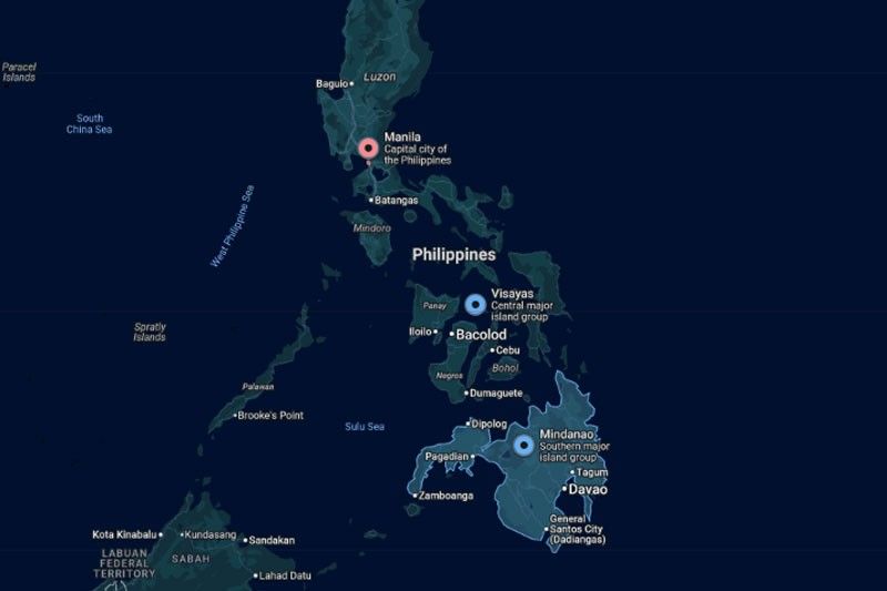
On the other hand, cloudy skies with scattered rains and thunderstorms will affect the Zamboanga Peninsula, Basilan, Tawi-Tawi and Palawan due to the intertropical convergence zone.
Quezon, the Bicol Region and Eastern Visayas will also have cloudy skies with scattered rains and thunderstorms, but due to the easterlies.
Partly cloudy to cloudy skies with isolated rainshowers or thunderstorms will be felt in Metro Manila, the rest of Luzon and the rest of Visayas due to the easterlies.
The rest of Mindanao will have partly cloudy to cloudy skies with isolated rainshowers or thunderstorms due to localized thunderstorms.





- Latest
- Trending