


PhilSA, DENR team up to create mangrove map using satellite data
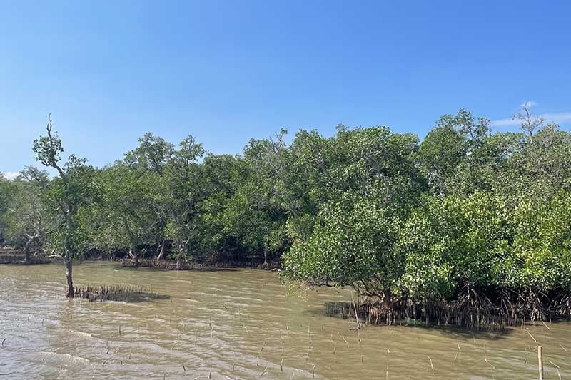
MANILA, Philippines — The Philippine Space Agency (PhilSA) and the Department of Environment and Natural Resources (DENR) have collaborated to develop a nationwide mangrove map using remote sensing data, a vital tool for conservation efforts.
The mangrove mapping initiative is part of the DENR’s development of a national geospatial database for its environment and natural resource accounting program.
Environment Secretary Ma. Antonia Yulo-Loyzaga said the use of space-based technologies has been an “invaluable help to the DENR in quantifying and measuring what we treasure as a nation.”
In a release Monday, PhilSA said the map will undergo a validation process to ensure data reliability and applicability for coastal management, conservation efforts and scientific research.
Following validation, the data will be used to enhance PhilSA’s machine learning mangrove mapping algorithm. The resulting validated map will then be used to support conservation and resource management efforts.
The Philippines has lost over half of its extensive mangrove ecosystems, with estimates suggesting a decline from 450,000 hectares in 1918. This loss is primarily attributed to conversion of mangroves into fishponds and other coastal development projects.
"Using satellite imagery and spaceborne data, we can develop the methodologies and algorithms to make more frequent and timely monitoring possible, and ultimately this should be directed towards supporting more sound decision making and policies,” PhilSA Director General Joel Joseph Marciano Jr. said.
Aside from the national geospatial database, the memorandum of agreement signed by PhilSA and DENR last year also covers the monitoring of National Greening Program areas and other forests.
The DENR created a geospatial database office in 2023, led by Carlos Primo David, undersecretary for integrated environmental science. — Gaea Katreena Cabico


- Latest


