Cebu among possible landfall areas: ‘Stormy Christmas’
CEBU, Philippines — A potential storm, the 21st to cross the country this year, is brewing outside the Philippine area of responsibility (PAR) and is expected to make landfall in Northern Mindanao or Eastern Visayas on Christmas eve, the state weather bureau said yesterday.
Engr. Al Quiblat, chief of the Philippine Atmospheric, Geophysical, and Astronomical Services Administration in the Visayas, said that based on their monitoring, there is 60 to 70 percent chance that the center of the expected tropical depression will hit Leyte.
“If this happens, it’s possible that the tropical depression may also make landfall in Cebu,” he told The FREEMAN over the phone yesterday.
Quiblat said that weather in Cebu and neighboring areas on December 24 and 25 is expected to be “critical.”
He added that it is likely that Tropical Cyclone Warning Signal No. 2 may be hoisted in Cebu, particularly in northern and Metro Cebu within those days.
Quiblat warned those who want to travel inter-island for the Christmas holiday to do so before Monday.
As of today, no gale warning has been declared in Central Visayas, which means any type of sea vessel is still allowed to venture to the sea. This is likely to change, however, starting Monday as weather is expected to worsen by then.
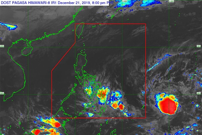
Quiblat clarified, though, that the weather disturbance is still located outside PAR. As of yesterday afternoon, PAGASA spotted the potential storm 1,855 kilometers east of Mindanao.
If the weather disturbance enters the Philippines on Sunday night or Monday morning, it will become the 21st tropical cyclone and possibly the last one for 2019. It will be called “Ursula” once it enters the Philippine area.
The disturbance is moving at changing speeds that range from 10 kph to 40 kph.
Quiblat said weather in Cebu is expected to slightly improve today, but will be cloudy on December 23 and stormy on December 24 and 25.
Quiblat said the rains experienced in Cebu recently may be attributed not to the weather disturbance outside PAR but to the existing low pressure area east of Hinatuan, Surigao del Sur.
The LPA is bringing moderate to occasionally heavy rains over Caraga and the provinces of Davao Oriental and Davao de Oro (formerly Compostela Valley) and neighboring regions, with the possibility of flooding and landslide imminent in low-lying areas.
For its part, the Philippine Coast Guard in Central Visayas has alerted its stations and substations on the severe weather forecast.
Coast guard officials have asked shipping companies and fisherfolk to stay updated with the weather bulletin issued by PAGASA and not to venture out to the sea if weather and sea conditions are unfavorable.
They also assured that quick response teams and search and rescue equipment are on standby, ready to respond as needed. (FREEMAN)


- Latest