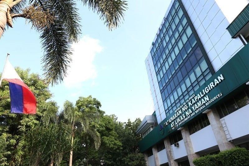
LGUs, agencies urged to use geohazard maps

MANILA, Philippines — Former environment secretary Lito Atienza has urged concerned agencies and local government units to use geohazard maps prepared by the Department of Environment and Natural Resources (DENR) to mitigate impacts of natural disasters on human life.
Atienza, former representative of the Buhay party-list, made the appeal following a landslide in Davao de Oro that killed scores of people.
“Events like this could have been prevented if concerned government agencies had been properly using geohazard maps that the DENR developed and distributed to identify landslide and flood-prone areas,” Atienza said.
He said he pushed for the speedy completion of geohazard maps when he was DENR chief in 2007.
He said that from 2007 until his term in the DENR ended in 2009, he had ordered the Mines and Geosciences Bureau to identify areas vulnerable to natural calamities.
“The maps were distributed to local government units and other agencies for land use planning, relocation, disaster mitigation and relief operations,” he said.
- Latest
- Trending


