


‘Neneng’ intensifies into typhoon earlier than expected
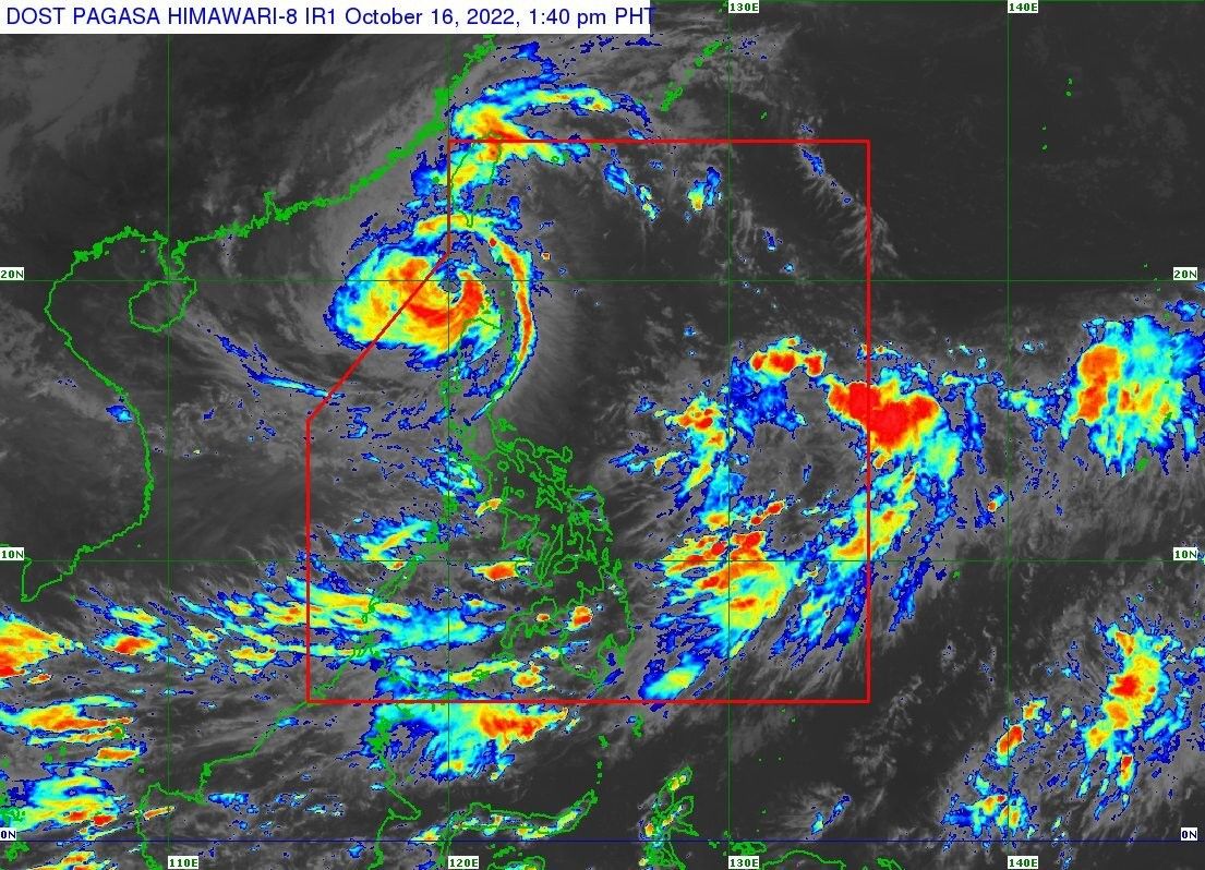
MANILA, Philippines — State weather bureau PAGASA said “Neneng” (international name: Nesat) has intensified into a typhoon at 11 a.m. on Sunday, earlier that the late afternoon or Sunday evening forecast.
“Further intensification is likely as this tropical cyclone moves over the West Philippine Sea,” PAGASA said.
According to its 2 p.m. bulletin, the center of the eye of the typhoon was last estimated to be at 145 kilometers west of Calayan municipality of Cagayan, with winds of 120 kilometers per hour and gusts of up to 150 kph.
Only the western part of Babuyan Islands is under TCWS No. 3, which may experience winds of over 89 kph to 117 kph in the next 18 hours. These include:
- Panuitan Island
- Calayan Island
- Dalupiri Island
Areas under TCWS No. 2, with winds of over 62 kph and up to 88 kph in the next 24 hours:
Batanes
- Northwestern part of Cagayan (Santa Praxedes, Claveria, Sanchez-Mira, Pamplona, Abulug, Ballesteros)
- Northwestern portion of Apayao (Calanasan, Luna, Santa Marcela)
- Ilocos Norte
Areas under TCWS Signal No. 1, which may experience winds of 39 kph to 61 kph or intermittent rains in the next 36 hours:
- Kalinga
- Abra
- Northern and central portions of Ilocos Sur (Gregorio del Pilar, Magsingal, San Esteban, Banayoyo, Burgos, City of Candon, Santa Lucia, Santiago, San Vicente, Santa Catalina, Lidlidda, Nagbukel, Sinait, San Ildefonso, Galimuyod, City of Vigan, San Emilio, Cabugao, Caoayan, San Juan, Santa, Bantay, Santo Domingo, Santa Maria, Narvacan, Salcedo, Santa Cruz)
- The rest of Apayao
- The rest of Cagayan
Moderate to heavy rains may pour over Batanes, Babuyan Islands, Apayao, Abra, Benguet, and Ilocos Norte, and Ilocos Sur, while light to moderate and occassionally heavy rains may be experienced in other parts of the Ilocos Region and the Cordillera Administrative Region.
Meanwhile, it may also bring occassional rains in some parts of Visayas and the Mimaropa region, as well as the north and west parts of Mindanao.
Neneng is expected to continue moving westward or west northward over the West Philippine Sea until Monday morning. PAGASA forecasts its exit from the Philippine Area of Responsibility late Sunday afternoon or evening.
Forecast position:
- Oct 16, Sunday at 11 p.m. - 335 km West of Calayan, Cagayan (outside PAR)
- Oct 17, Monday at 11 a.m. - 490 km West of Calayan, Cagayan (outside PAR)
- Oct 17, Monday at 11 p.m. - 640 km West of Calayan, Cagayan (outside PAR)
- Oct 18, Tuesday at 11 a.m. - 710 km West of Laoag City, Ilocos Norte (outside PAR)
- Oct 18, Tuesday at 11 p.m. - 845 km West of Northern Luzon (outside PAR)
- Oct 19, Wednesday at 11 p.m. - 1,015 km West of Northern Luzon (outside PAR)


- Latest
- Trending


