Florita to bring rain in Northern, Central Luzon
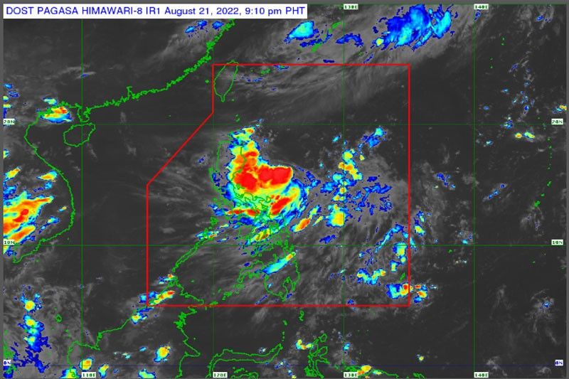
MANILA, Philippines — Typhoon Florita, which developed from a low-pressure area into a tropical depression yesterday morning, is forecast to bring rainfall to Northern and Central Luzon provinces in the next 48 hours.
The Philippine Atmospheric, Geophysical and Astronomical Services Administration (PAGASA) said the weather disturbance is expected to further strengthen into a tropical storm before making landfall in Cagayan or the northern portion of Isabela on Tuesday morning or afternoon.
As Florita approaches, light to moderate with at times heavy rains may prevail over the eastern sections of Northern and Central Luzon today.
By this evening until Tuesday night, PAGASA said the passage of the tropical cyclone over the northern portion of Luzon might bring heavy to intense rains over Northern and Central Luzon regions.
“Under these conditions, scattered to widespread flooding (including flash floods) and rain-induced landslides are expected, especially in areas that are highly or very highly susceptible to these hazards as identified in hazard maps and in localities with significant antecedent rainfall,” an advisory issued yesterday announced.
PAGASA said there is a high likelihood that Tropical Cyclone wind signals will be hoisted for Northern Luzon and several provinces in Central Luzon due to the threat of strong to storm-force winds as Florita passes through.
The tropical depression is also forecast to bring moderate to rough seas over the eastern seaboard of Northern Luzon and these conditions may be risky for those using small seacraft.
PAGASA said mariners are advised to take precautionary measures when venturing out to sea and, if possible, avoid navigating in these conditions.
After its expected landfall in the vicinity of Cagayan or northern portion of Isabela on Tuesday morning or afternoon, the center of Florita will move west northwestward and cross several provinces in Northern Luzon before emerging over the West Philippine Sea by Tuesday evening or early Wednesday morning.
The tropical depression is likely to weaken slightly as it crosses Northern Luzon, but is forecast to remain within the tropical storm category.
“Considering these developments, the public and disaster risk reduction and management offices concerned are advised to take all necessary measures to protect life and property,” the state weather bureau announced.
“Persons living in areas identified to be highly or very highly susceptible to these hazards are advised to follow evacuation and other instructions from local officials,” PAGASA said.


- Latest
- Trending