


Signal No. 1 over Batanes as 'Emong' slows down ahead of exit
MANILA, Philippines — Tropical Cyclone Wind Signal No. 1 remains hoisted over Batanes as Tropical Depression Emong continues move slowly away from the Philippines, the state weather bureau said Tuesday.
PAGASA said residents of the province will continue to experience strong winds that will gradually weaken as Emong moves away from extreme Northern Luzon.
The tropical depression may leave the Philippine Area of Responsibility Tuesday morning. It was last seen 165 kilometers northwest of Itbayat in Batanes packing maximum sustained winds of 55 km per hour near the center and gusts of up to 70 kph.
It was heading northwest at 25 kph.
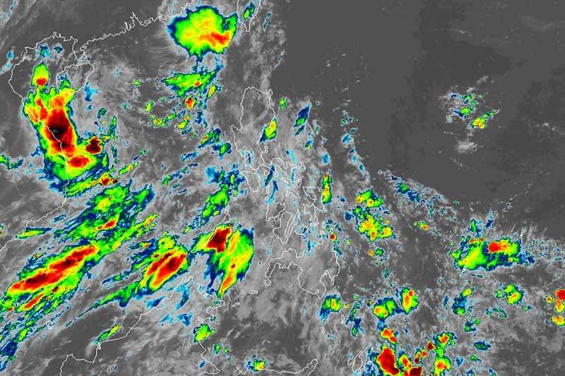
PAGASA warned that sea travel is risky over the seaboards of Batanes and Cagayan, including Babuyan Islands due to rough seas (2.5 to 4 meters).
Forecast position
- Wednesday morning: 810 km northwest extreme Northern Luzon or in the vicinity of Sanming, Fujian province, China (outside PAR)
The southwest monsoon or habagat is expected to bring scattered rainshowers and thunderstorms in Metro Manila, Calabarzon, Zambales, Bataan, Palawan, and Mindoro provinces.
The rest of the country may experience isolated rainshowers or thunderstorms. — Gaea Katreena Cabico


- Latest
- Trending


