'Vicky' keeps strength as it moves toward Davao Oriental for landfall
MANILA, Philippines (Updated 4:11 p.m.) — Tropical Depression Vicky has kept its strength as it continues to endanger Davao Oriental with a landfall on Friday afternoon, state weather bureau PAGASA said.
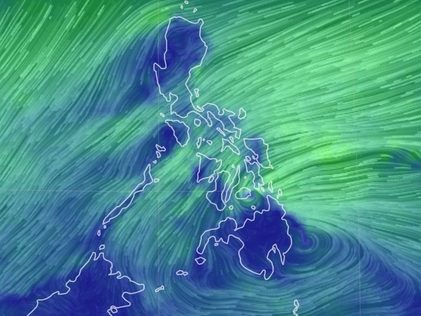
Weather forecasters in its 2 p.m. bulletin said Vicky was last seen at 95 kilometers east of Davao City as it continues to move west northwestward at 15 kilometers per hour.
It has maintained its maximum sustained winds of 45 kph near the center, and gustiness of up to 60 kph.
Vicky is expected to make landfall in the vicinity of Baganga-Caraga area in Davao Oriental between 2:00 to 5:00 p.m. Friday. After crossing Mindanao, it is forecast to emerge over Bohol Sea early Saturday morning, pass close to Siquijor, and make another landfall over southern portion of Negros Island.
By Saturday morning or afternoon, Vicky is expected to emerge over Sulu Sea.
PAGASA said Vicky is projected to remain a tropical depression while crossing the country.
Tropical cyclone wind signals are still up over the following provinces, with more areas now under Signal No. 1.
Luzon
- northern and central portion of Palawan (Puerto Princesa City, Roxas, San Vicente, Dumaran, Araceli, Taytay, El Nido) including Calamian, Cuyo, and Cagayancillo Islands
Visayas
- southern portion of Leyte (Baybay City, Javier, Abuyog, Mahaplag, Inopacan, Hindang, Hilongos, Bato, Matalom, Palompon, Merida, Isabel)
- southern Leyte
- central and southern portions of Cebu (Borbon, Tabuelan, Tuburan, Sogod, Catmon, Carmen, Asturias, Danao City, Compostela, Liloan, Consolacion, Mandaue City, Lapu-Lapu City, Cordoba, Balamban, Cebu City, Talisay City, Toledo City, Minglanilla, Naga City, Pinamungahan, San Fernando, Aloguinsan, Carcar, Barili, Sibonga, Dumanjug, Ronda, Alcantara, Moalboal, Argao, Dalaguete, Badian, Alegria, Alcoy, Boljoon, Oslob, Malabuyoc, Ginatilan, Samboan, Santander) including Camotes Islands
- Bohol
- Siquijor
- Negros Oriental
- Negros Occidental
- Guimaras,
- central
- southern portions of Iloilo (Ajuy, Barotac Viejo, San Enrique, San Rafael, Passi City, Bingawan, Calinog, Lambunao, Janiuay, Banate, Anilao, Dingle, Duenas, Badiangan, Barotac Nuevo, Zarraga, Pototan, Dumangas, Mina, New Lucena, Santa Barbara, Leganes, Iloilo City, Pavia, Cabatuan, Maasin, Alimodian, San Miguel, Leon, Oton, Tigbauan, Tubungan, Guimbal, Igbaras, Miagao, San Joaquin)
- southern portion of Antique (Valderrama, San Remigio, Sibalom, Hamtic, Tobias Fornier, Anini-Y, Bugasong, Laua-An, Patnongon, San Jose, Belison)
Mindanao
- Dinagat Islands
- Surigao del Norte
- Surigao del Sur
- Agusan del Norte
- Agusan del Sur
- Davao Oriental
- Davao del Norte
- Davao de Oro
- Davao City
- northern portion of Davao del Sur (Santa Cruz, Digos City, Bansalan, Magsaysay, Matanao, Hagonoy)
- Camiguin
- Bukidnon
- Misamis Oriental
- Misamis Occidental
- Lanao del Norte
- Lanao del Sur
- Maguindanao
- Cotabato City
- North Cotabato
- Zamboanga del Sur
- Zamboanga Sibugay
- northern portion of Zamboanga del Norte (Baliguian, Gutalac, Kalawit, Labason, Tampilisan, Liloy, Salug, Bacungan, Godod, Sindangan, Siayan, Jose Dalman, Manukan, Sergio Osmena Sr., Pres. Manuel A. Roxas, Katipunan, Dipolog City, Polanco, Pinan, Mutia, La Libertad, Dapitan City, Sibutad, Rizal)
The state weather bureau warned of combined effects of Tropical Depression Vicky and tail-end of a frontal system (shear line), bringing moderate to heavy with at times intense rains over Caraga, Davao Oriental, Davao de Oro, Davao del Norte, Bukidnon, Misamis Oriental, Camiguin, Southern Leyte, Leyte and Bohol.
Light to moderate with at times heavy rains are expected over Bicol Region, the southern portion of Quezon, Lanao del Sur, Zamboanga del Norte, and the rest of Visayas, Davao Region, and Northern Mindanao.
By Saturday, moderate to heavy with at times intense rains are expected over Bicol Region, Eastern Visayas, Central Visayas, Quezon, and the northern portion of Palawan including Calamian and Cuyo Islands.
Light to moderate with at times heavy rains will be experienced on Saturday over mainland Cagayan Valley, Apayao, Kalinga, Mountain Province, Ifugao, Bulacan, Metro Manila, Camiguin, Dinagat Islands, and the rest of CALABARZON, MIMAROPA and Visayas.
Forecast positions
- 24 hour (Saturday morning): 80 km west of Dumaguete City, Negros Oriental
- 48 hour (Sunday morning): 265 km northwest of Puerto Princesa City, Palawan
- 72 hour (Monday morning): 165 km west southwest of Kalayaan, Palawan (outside PAR)


- Latest
- Trending