


'Ineng' on its way out of PAR, makes landfall in southern Taiwan
MANILA, Philippines — Severe Tropical Storm Ineng (International name: Bailu) made landfall in Pingtung County in Southern Taiwan and is expected to exit the Philippine area of responsibility on Saturday afternoon or early evening, the state weather bureau said.
In its 5 a.m. weather bulletin, PAGASA said Tropical Cyclone Wind Signal over Ilocos Norte, Apayao and Cagayan (mainland) had been lifted. But Batanes and Babuyan Islands may still experience strong winds.
Meanwhile, occasional gusty conditions will still prevail over most of Luzon due to the southwest monsoon, or habagat.
"Ineng," which packs maximum sustained winds of 100 kilometers per hour and gusts of up to 125 kph, was spotted 275 km north northwest of Basco, Batanes at 4 p.m.
On Saturday night, moderate to heavy rains will continue to affect Ilocos Region, Cordillera Administrative Region, Batanes, northern portion of Cagayan (including Babuyan Islands), Zambales and Bataan.
Light to moderate with intermittent heavy rains will be experienced over Metro Manila, Cavite, Batangas, Rizal, Laguna, Mindoro Provinces, northern portion of Palawan (including Calamian and Cuyo Islands), and the rest of Cagayan Valley and Central Luzon.
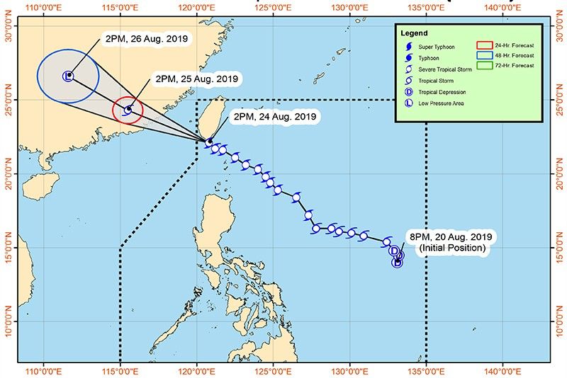
'Ineng' forecast position
- 24 Hour (Sunday afternoon): 790 km Northwest of Basco, Batanes (OUTSIDE PAR)
- 48 Hour (Monday afternoon): 1,260 km Northwest of Basco, Batanes (OUTSIDE PAR)
Get updates on "Ineng," the ninth tropical cyclone to enter the Philippine area of responsibility in 2019.
Weather bureau PAGASA says "Ineng" has made a landfall over Pingtung Country in southern Taiwan.
Based on its 5 p.m. weather bulletin, the eye of Severe Tropical Storm Ineng was situated at 275 kilometes north northwest of Basco, Batanes.
It continues to move in a west northwest direction at 20 kilometers per hour.
"Tropical Cyclone Wind Signal over Ilocos Norte, Apayao and Cagayan (mainland) are now lifted," PAGASA says.
"Batanes and Babuyan Islands are still warned against strong winds associated with 'INENG'. Furthermore, occasional gusty conditions will still prevail over most of Luzon due to the Southwest Monsoon," it adds.
PAGASA announces that Severe Tropical Storm Ineng is already off the southern coast of Pingtung country in Taiwan.
Based on its 2 p.m. weather bulletin, the center of "Ineng" is located at 185 kilometers northwest of Basco, Batanes.
It has maximum sustained winds of 100 kilometers per hour near the center and gust of up to 125 kph.
"Ineng," which is expected to exit the Philippine area of responsibility on Saturday afternoon, is moving west northwest at 25 kph.
The city government of Laoag, Ilocos Norte has declared a state of calamity after Severe Tropical Storm Ineng and the southwest monsoon brought heavy rains that caused massive flooding in the area.
Severe Tropical Storm Ineng has made a close approach to Batanes as it heads towards southern Taiwan, PAGASA says.
In its 11:00 a.m. weather advisory, the eye of "Ineng" was located at 140 kilometers north northwest of Basco Batanes.
It is moving west northwest at 30 kilometers per hour, with maximum sustained winds of 100 kph near the center and gustiness of up to 125 kph.
"Ineng" is expected to exit the Philippine Area of Responsibility on Saturday afternoon, PAGASA adds.
PAGASA says Severe Tropical Storm Ineng has accelerated further, moving closer to Batanes area.
In its 8 a.m. severe weather bulletin, the center of "Ineng" was located at 105 kilometers north of Basco, Batanes. It is moving west northwest at 30 kilometers per hour, with maximum sustained winds of 100 kph near the center and gustiness of up to 125 kph.


- Latest
- Trending


