'Chedeng' makes landfall, weakens into LPA
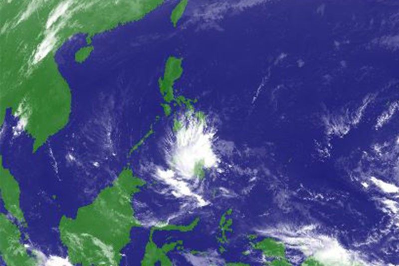
MANILA, Philippines — Tropical depression Chedeng has weakened into a low pressure area as it made landfall over Malita, Davao Occidental Tuesday morning.
State weather bureau PAGASA said the weather disturbance made landall at aroud 5:30 a.m.
At 7 a.m., the low pressure area was located at the vicinity of Malungon, Sarangani.
All tropical cyclone signals have been lifted but some areas in Mindanao will continue to experience moderate to heavy rains, including Surigao del Sur, Agusan del Sur, Davao region, Soccksksargen and portions of northern Mindanao, Bangsamoro and Zamboanga Peninsula.
Rainfall warnings have been raised in the following areas:
Orange warning level
- Carrascal, Tagbina and Barobo, Surigao del Sur
- Rosario, Agudan del Sur
- South Cotabato
- Davao Oriental
- Compostela Valley
Yellow warning level
- Surigao del Norte
- Bukidnon
- Rest of Agusan del Sur
- Rest of Surigao del Sur
- Davao City
- Davao del Sur
- Davao del Norte
Residents of the affected areas, especially those living in areas with high risk of flooding or landslide, have been advised to undertake appropriate actions and continue monitoring for updates. — Patricia Lourdes Viray
The tropical depression PAGASA is monitoring continues to move generally westward near Palau and is expected to enter the Philippine area of responsibility this early afternoon. It will be assigned the name "Chedeng."
As of 10 a.m., the center of the tropical depression was estimated based on all available data at 980 km east of Mindanao It packs maximum sustained winds of 45 kph near the center and gustiness of up to 60 kph.
Small sea vessels that ply the route between the Sta. Ana Wharf in Davao City and the Island Garden City of Samal have been grounded by the Philippine Coast Guard.
The Davao region is under Tropical Cyclone Warning Signal No. 1 due to 'Chedeng'.
PAGASA raises Signal No. 1 over Davao Oriental as Tropical Depression Chedeng may make landfall over the eastern coast of the province between tomorrow evening and Tuesday morning.
It adds that Signal No. 1 may be raised over Davao del Norte and Compostela Valley in the next bulletin.
At 4 p.m. today, the center of "Chedeng" was estimated based on all available data at 830 km east of Hinatuan, Surigao del Sur.
It packs maximum sustained winds of 45 kph near the center and gustiness of up to 60 kph.
PAGASA says the center of Tropical Depression Chedeng has entered PAR at 11 a.m. today and was estimated to be located at 950 km east of Hinatuan, Surigao del Sur.
At 11:00 AM today, the center of Tropical Depression "CHEDENG" has entered the Philippine Area of Responsibility and was estimated at 950 km East of Hinatuan, Surigao del Sur. Severe Weather Bulletin #1 will be issued at 5:00 PM today.
— PAGASA-DOST (@dost_pagasa) March 17, 2019


- Latest
- Trending