New tropical depression 'Maring' develops inside PAR
MANILA, Philippines — A new tropical depression has developed inside the Philippine Area of Responsibility, state weather forecasters said Thursday.
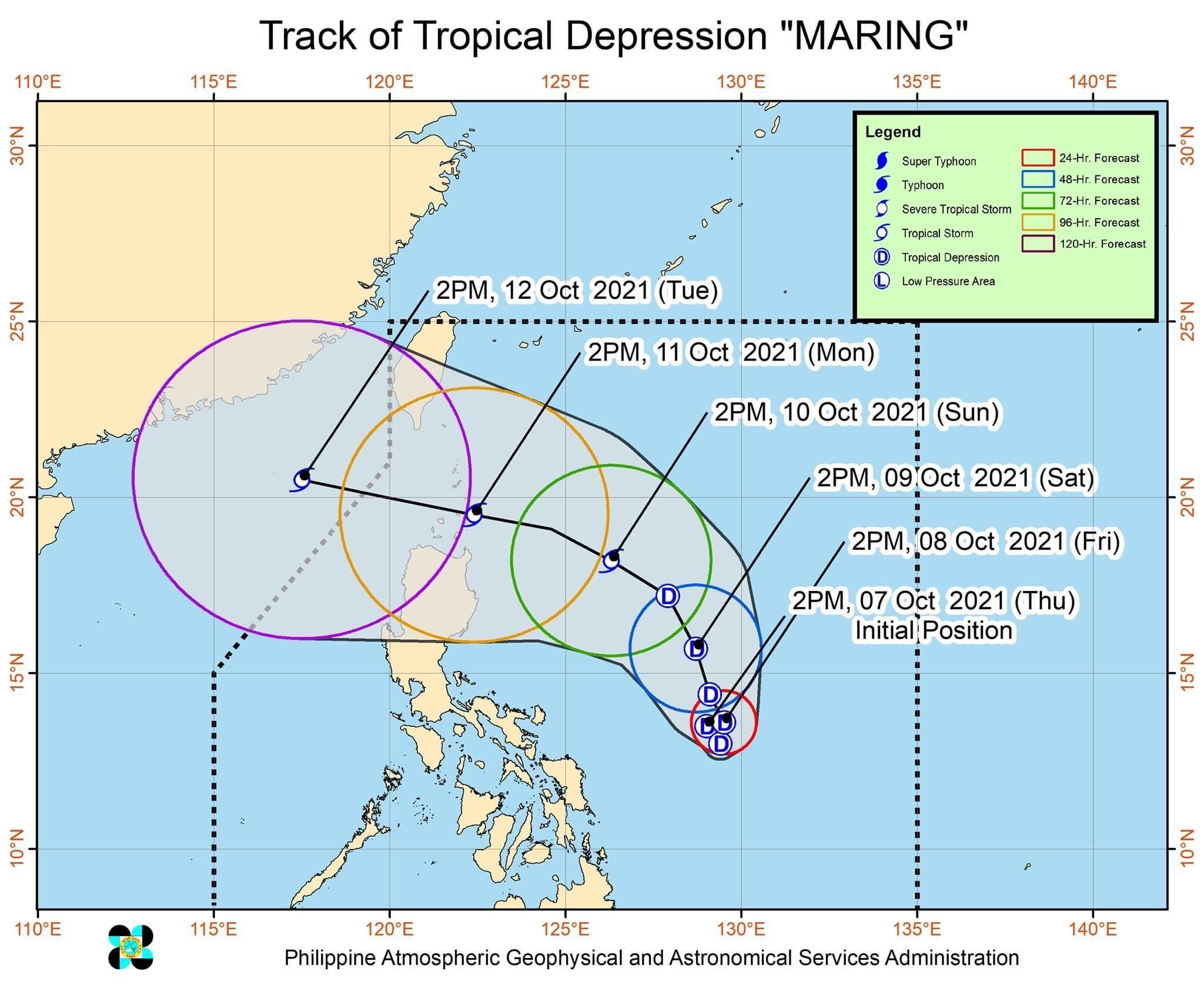
PAGASA said "Maring" was last seen this afternoon at 505 kilometers east of Virac in Catanduanes.
The weather disturbance packs 45 kilometers per hour maximum sustained winds and gustiness of up to 55 kph.
Maring is moving south southeastward at 15 kph, the agency added.
There is no tropical cyclone wind signal raised yet. But PAGASA said several provinces in Northern Luzon could be placed in such by morning or afternoon of Saturday, October 9.
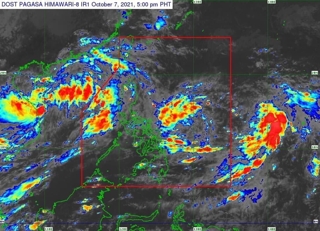
For now, the agency said Maring's trough or extension could bring light to moderate with at times heavy rains over Eastern Visayas today.
"Under these conditions, scattered flooding (including flash floods) and rain-induced landslides are possible," it added, "especially in areas that are highly or very highly susceptible to these hazard as identified in hazard maps."
Moderate rough seas will also prevail over the seaboards of Luzon and the eastern and western seaboards of Visayas and Mindanao in the next 24 hours due to the tropical depression.
PAGASA said the conditions would be risky for those small seacrafts, and advised mariners to take caution when out in the sea.
Maring will maintain its direction in the next 12 hours before shifting northward on Friday afternoon.
By Sunday afternoon, it will move west northwestward towards Extreme Northern Luzon, and could close or make landfall over Babuyan Islands on Monday.
"The public and disaster risk reduction and management offices concerned are advised to take all necessary measures to protect life and property," PAGASA said.
It added: "Persons living in areas identified to be highly or very highly susceptible to these hazards are advised to follow evacuation and other instructions from local officials."
Forecast Position
- Friday afternoon: 570 km east of Virac, Catanduanes
- Saturday afternoon: 765 km east of Baler, Aurora
- Sunday afternoon: 495 km east of Aparri, Cagayan
- Monday afternoon: 465 km west of Basco, Batanes (outside PAR)


- Latest
- Trending