LPA develops into Tropical Depression Fabian
MANILA, Philippines — The state weather bureau has warned against heavy rains in many parts of the country, including Metro Manila, beginning tomorrow due to the southwest monsoon, which will be enhanced by Tropical Depression Fabian.
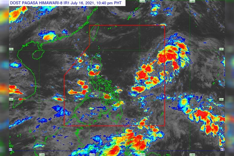
No tropical cyclone wind signal, however, had been raised as of 5 p.m. yesterday due to the weather disturbance.
Raymond Ordinario, weather forecaster at the Philippine Atmospheric, Geophysical and Astronomical Services Administration (PAGASA), said Fabian, which developed from a low-pressure area, was not expected to make landfall in the country.
However, it will enhance the southwest monsoon, which will bring heavy rains over Mimaropa, Calabarzon, Western Visayas, Metro Manila, Bataan and Zambales Sunday until Tuesday.
As of 4 p.m. Friday, the center of Fabian was located 1,345 kilometers east of Northern Luzon, packing winds of 45 kilometers per hour near the center and gustiness of up to 55 kph.
It was moving north slowly.
Fabian was forecast to gradually intensify into a storm in the next 48 hours.
It was projected to move north until this morning, then north northwest by tomorrow afternoon, northwest by Monday and west northwest toward the southern portion of Ryukyu Islands in Japan.
Fabian, the country’s sixth tropical cyclone this year, is expected to exit the Philippine area of responsibility on Tuesday, Ordinario said.
Meanwhile, some parts of the country may experience above-normal rainfall in the coming months due to the possible re-emergence of La Niña, Pagasa warned.
The state weather bureau said there is a 50 percent probability that La Niña will develop either in late October or November this year and may last through the first quarter of 2022.
“With this development, above normal rainfall conditions are expected over some parts of the country in the coming several months,” PAGASA administrator Vicente Malano said in a statement.
He urged the public to brace for possible adverse impacts of La Niña, such as floods and landslides.
“All concerned agencies are advised to take precautionary measures to mitigate the potential impacts of the re-emerging La Niña,” Malano said.
La Niña is characterized by unusually cooler than average sea surface temperatures in the central and eastern equatorial Pacific.


- Latest
- Trending