


'Julian' to intensify, but will be away land mass throughout forecast period
MANILA, Philippines — Tropical Depression Julian is expected to strengthen in the following hours but is less likely to “cause high impact weather over the country,” state weather bureau PAGASA said.
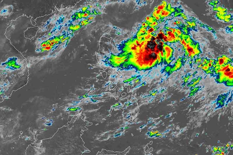
In its 11 a.m. severe weather bulletin on Friday, PAGASA said Julian, the tenth tropical cyclone for the year, is likely to intensify into a typhoon by Sunday morning, but is expected to be away from land mass throughout forecast period.
No tropical cyclone wind signal has been hoisted in any area of the country in the latest weather bulletin. PAGASA said raising the wind signal “is unlikely throughout the forecast period” as it is also said to be “less likely to cause high impact weather over the country.”
“Continuous intensification is likely throughout the forecast period. ‘Julian’ is expected to reach tropical storm category within 12 hours and severe tropical storm category within 24 to 36 hours. It is forecast to reach typhoon category by Sunday morning,” the state weather bureau added.
Weather forecasters, in the latest bulletin, said Julian is moving westward to west-northward at 15 kph, and would remain over the Philippine Sea throughout the forecast period.
PAGASA located the center of Julian at 940 km east of Casiguran, Aurora or 975km east of Tuguegarao City, Cagayan. Julian packs maximum sustained winds of 55km/hr near the center and gustiness of up to 70 km/hr.
The weather disturbance is likely to exit the Philippine Area of Responsibility on Monday evening.
PAGASA meanwhile noted that the southwest monsoon is forecast to bring rough seas over the seaboards of Batanes, Babuyan Islands and Ilocos Norte. Small seacrafts are not advised to venture out to the waters.
Forecast positions
Saturday morning: 885 km East of Tuguegarao City, Cagayan
Sunday morning: 860 km East of Aparri, Cagayan
Monday morning: 730 km East Northeast of Basco, Batanes
Tuesday morning: 805 km North Northeast of extreme Northern Luzon (Outside PAR)
Wednesday morning: 1,130 km north of Extreme Northern Luzon
— Kristine Joy Patag


- Latest
- Trending


