PAGASA monitoring potential tropical cyclone
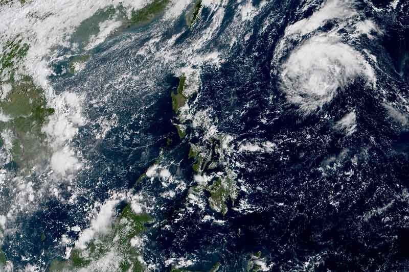
MANILA, Philippines — Weather forecasters are monitoring a low pressure area east of the Philippines, which may strengthen into a tropical cyclone in the coming days.
The LPA was last seen 1,335 kilometers east of Baler, Aurora, weather specialist LorieDin Dela Cruz said early Wednesday morning.
The weather system may develop into a tropical cyclone within 24 to 48 hours. If it does, it will be given a local name “Perla.”
The LPA is moving northwest slowly. By the time it nears extreme Northern Luzon, the weather system may weaken due to the effects of the northeasterly surface wind flow.
“Cold air is not favorable to weather systems like tropical cyclone and LPA,” Dela Cruz explained.
The northeasterly surface windflow is currently after Batanes and Babuyan Group of Islands. Residents of these areas may experience cloudy skies with light rains.
Cloudy skies with scattered rainshowers and thunderstorms may prevail over Mindanao and Eastern Visayas.
Metro Manila and the rest of the country will have partly cloudy to cloudy skies with isolated rainshowers. — Gaea Katreena Cabico


- Latest
- Trending