


‘Ineng’ accelerates further, makes close approach to Batanes area
MANILA, Philippines — Severe Tropical Storm Ineng (International name: Bailu) gained speed Saturday and is now moving closer to Batanes area, threatening residents in northernmost part of Luzon with winds that may cause light to moderate damage, the state weather bureau said.
In its 8 a.m. bulletin, PAGASA said “Ineng” is forecast to cross the Bashi Channel Saturday morning and exit the Philippine Area of Responsibility in the afternoon.
"Ineng" — which packs maximum sustained winds of 100 kilometers per hour and gusts of up to 125 kilometers per hour — was spotted 105 km north of Basco, Batanes at 7 a.m.
Cagayan, Isabela, Apayao, Kalinga, Northern Abra and Ilocos Norte have been placed under storm signal no. 1. These areas may experience winds of 30-60 kph in at least 36 hours or intermittent rains within 36 hours.
Signal no. 2 is declared over Batanes and Babuyan Islands. Winds greater than 61 kph and up to 120 kph may be expected in at least 24 hours in these areas.
Elsewhere, moderate to heavy rains may prevail over Zambales, Bataan, Mindoro provinces and northern portions of Palawan (including Calamian and Cuyo Islands).
Light to moderate with intermittent heavy rains may be experienced over Metro Manila, Cavite, Laguna, Batangas, Rizal, Aklan, Antique, Iloilo, Guimaras, and the rest of Central Luzon and Cagayan Valley.
“Residents in the aforementioned areas, especially those living in areas identified to be highly or very highly susceptible to floods and rain-induced landslides, are advised to take precautionary measures, coordinate with local disaster risk reduction and management offices, and continue monitoring for updates,” PAGASA said.
“Sea travel is risky over the seaboards of areas under [tropical cyclone wind signal], the seaboards of Luzon, and the eastern seaboard of Visayas due to potentially rough sea conditions,” it added.
The Philippines, located on the so-called Pacific Ring of Fire, is visited by around 20 typhoons every year.
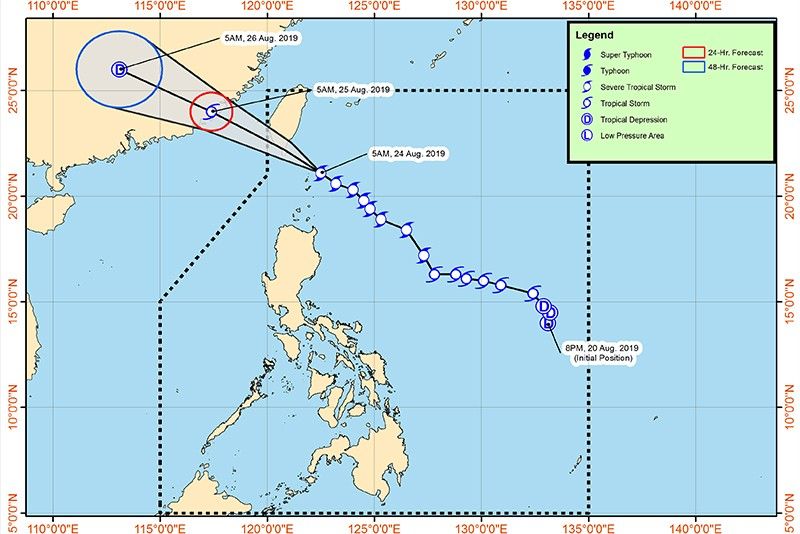
Ineng forecast position:
- 24 Hour (Sunday morning): 615 km Northwest of Basco, Batanes (Outside PAR)
- 48 Hour (Monday morning): 1,095 km Northwest of Basco, Batanes (Outside PAR)
— Ian Nicolas Cigaral
Get updates on "Ineng," the ninth tropical cyclone to enter the Philippine area of responsibility in 2019.
Weather bureau PAGASA says "Ineng" has made a landfall over Pingtung Country in southern Taiwan.
Based on its 5 p.m. weather bulletin, the eye of Severe Tropical Storm Ineng was situated at 275 kilometes north northwest of Basco, Batanes.
It continues to move in a west northwest direction at 20 kilometers per hour.
"Tropical Cyclone Wind Signal over Ilocos Norte, Apayao and Cagayan (mainland) are now lifted," PAGASA says.
"Batanes and Babuyan Islands are still warned against strong winds associated with 'INENG'. Furthermore, occasional gusty conditions will still prevail over most of Luzon due to the Southwest Monsoon," it adds.
PAGASA announces that Severe Tropical Storm Ineng is already off the southern coast of Pingtung country in Taiwan.
Based on its 2 p.m. weather bulletin, the center of "Ineng" is located at 185 kilometers northwest of Basco, Batanes.
It has maximum sustained winds of 100 kilometers per hour near the center and gust of up to 125 kph.
"Ineng," which is expected to exit the Philippine area of responsibility on Saturday afternoon, is moving west northwest at 25 kph.
The city government of Laoag, Ilocos Norte has declared a state of calamity after Severe Tropical Storm Ineng and the southwest monsoon brought heavy rains that caused massive flooding in the area.
Severe Tropical Storm Ineng has made a close approach to Batanes as it heads towards southern Taiwan, PAGASA says.
In its 11:00 a.m. weather advisory, the eye of "Ineng" was located at 140 kilometers north northwest of Basco Batanes.
It is moving west northwest at 30 kilometers per hour, with maximum sustained winds of 100 kph near the center and gustiness of up to 125 kph.
"Ineng" is expected to exit the Philippine Area of Responsibility on Saturday afternoon, PAGASA adds.
PAGASA says Severe Tropical Storm Ineng has accelerated further, moving closer to Batanes area.
In its 8 a.m. severe weather bulletin, the center of "Ineng" was located at 105 kilometers north of Basco, Batanes. It is moving west northwest at 30 kilometers per hour, with maximum sustained winds of 100 kph near the center and gustiness of up to 125 kph.


- Latest
- Trending


