Batanes under Signal No. 2 as weakened 'Henry' inches closer
MANILA, Philippines — State weather bureau PAGASA hoisted Signal No. 2 over Batanes as Typhoon Henry (international name: Hinnamnor) slowly moved closer to the province while it weakened further.
According to PAGASA, Batanes residents can expect winds between 61 kilometers per hour to 120 kph in at least 24 hours, which may cause damage to some structures.
Meanwhile, Signal No. 1 is hoisted over Babuyan Islands and the northeastern portion of mainland Cagayan, where residents can expect winds of 30 kph to 60 kph or intermittent rains in at least 36 hours.
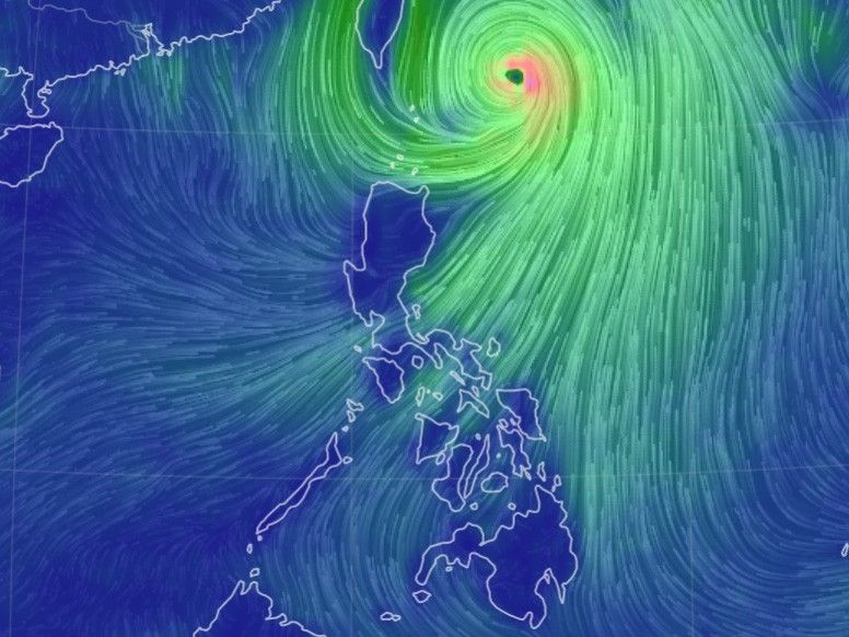
PAGASA says Henry — which is not forecast to make landfall — now packs winds of up to 165 kilometers per hour near the center and gusts of up to 205 kph. The center of its eye was last spotted 365 km east northeast of Itbayat, Batanes.
Henry is forecast to bring on Friday moderate to heavy with at times intense rains over Ilocos region, Batanes, Babuyan Islands, Apayao and Abra.
It is expected to bring on the following day moderate to heavy rains over Batanes and light to moderate with at times heavy rains over Babuyan Islands.
PAGASA says the southwest monsoon or habagat will bring rains over Isabela, the western portion of Central Luzon and the rest of the Cordillera Administrative Region.
The state weather bureau hoisted a gale warning over the northern and eastern seaboard of Northern Luzon and the eastern seaboard of Central Luzon.
Henry is also forecast to bring moderate to rough seas over the eastern seaboard of Southern Luzon, which may be “risky for those using small seacrafts.”
Henry, which is forecast to continue to weaken in the next 12 hours, will continue moving slowly northwestward on Friday before it gradually accelerates northward. It may exit the Philippine Area of Responsibility by Saturday evening or Sunday morning.
Forecast position
- Friday, 8 p.m. - 345 km East Northeast of Itbayat, Batanes
- Saturday, 8 a.m. - 395 km Northeast of Itbayat, Batanes
- Saturday, 8 p.m. - 485 km Northeast of Itbayat, Batanes
- Sunday 8 a.m. - 635 km North Northeast of Itbayat, Batanes (Outside PAR)
- Sunday, 8 p.m. - 790 km North Northeast of Itbayat, Batanes (Outside PAR)
- Monday 8 a.m. - 1,000 km North Northeast of Extreme Northern Luzon (Outside PAR)
— Xave Gregorio


- Latest
- Trending