


Gardo enters PAR tonight
MANILA, Philippines — Typhoon Francisco is expected to exit the Philippine area of responsibility (PAR) as another tropical storm is set to enter the country tonight, the Philippine Atmospheric, Geophysical and Astronomical Services Administration said.
PAGASA weather specialist Benison Estareja yesterday said Francisco will be leaving PAR by this afternoon or evening.
It was last located 320 kilometers east-northeast of Itbayat, Batanes, moving northward at 15 kms per hour, packing winds of 130 kph and gusts of 160 kph.
Francisco is affecting Northern Luzon, especially the eastern portion of Batanes and Cagayan.
Other areas affected by the typhoon are the remaining parts of Cagayan, Apayao and Ilocos Norte.
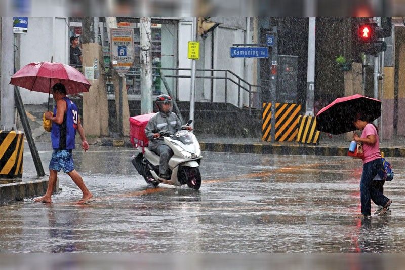
Meanwhile, parts of Luzon and Western Visayas and Negros Island Region are affected by the southwest monsoon.
Based on the latest warning signals issued yesterday at 5 p.m., Wind Signal No. 1 is raised in Batanes and the northeastern portion of Cagayan including Babuyan islands.
On the other hand, the tropical storm with international name Higos is set to enter PAR this evening.
It was last located at 1,975 kms east of Central Luzon, packing winds of 65 kph and gusts of 80 kph.
It will be given the name Gardo, the seventh tropical cyclone this year and third to enter PAR this month.
Gardo is expected to exit PAR on Friday morning as it moves west-northwestward at 20 kph.
It is not expected to make landfall or directly affect the country.


- Latest
- Trending


