


Tino approaches, threatens Visayas
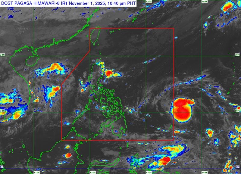
MANILA, Philippines — A tropical depression is threatening to hit the Visayas and parts of Mindanao this week, the Philippine Atmospheric, Geophysical and Astronomical Services Administration (PAGASA) said yesterday.
Last detected at 1,370 kilometers east of Northeastern Mindanao, the tropical depression carried maximum sustained winds of 55 kilometers per hour near the center and gusts of up to 70 kph.
The tropical depression could enter the Philippine area of responsibility today and would be given the name Tino.
It could land either in Eastern Visayas or in Caraga by tomorrow evening, potentially as a typhoon packed with winds of up to 130 kph.
With such strength, the state weather agency could raise up Tropical Cyclone Wind Signal Number 4 as well as issue heavy rainfall advisories.
Future cyclone Tino could dump heavy rains starting today until Tuesday in the provinces of Catanduanes, Albay, Sorsogon, Northern Samar, Eastern Samar, Samar, Leyte, Southern Leyte, Romblon, Masbate, Cebu, Bohol, Siquijor and the islands of Negros and Panay.
Moderate to strong winds and coastal waters with waves of up to three meters can be experienced in Northern Luzon and in the eastern section of Central and Southern Luzon.


- Latest
- Trending


