


Odette to enter Philippines on Tuesday
MANILA, Philippines — Typhoon Odette is forecast to enter the Philippine area of responsibility tomorrow and make landfall over Eastern Visayas or in the Caraga region of Mindanao as early as Wednesday night.
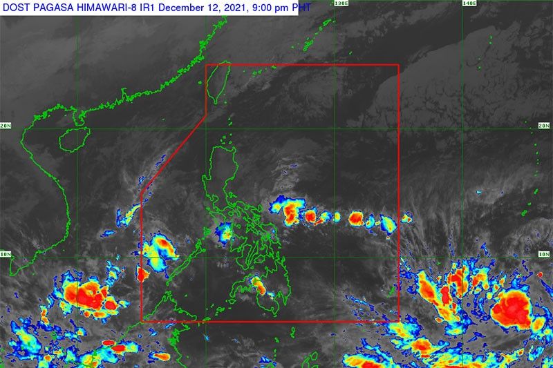
According to the Philippine Atmospheric, Geophysical and Astronomical Services Administration (PAGASA), the low-pressure area it has been monitoring has already developed into a tropical depression.
Located 2,095 kilometers east of Mindanao as of yesterday morning, it was moving slowly and almost stationary. It packs a maximum sustained wind of 45 kilometers per hour near the center and gustiness of up to 55 kph.
“On the forecast track, the tropical depression is forecast to move generally west northwestward over the next three days and may enter the PAR on Tuesday,” PAGASA said.
“Once inside the PAR, the domestic name ‘Odette’ will be assigned to this tropical cyclone. By Wednesday evening or Thursday morning, the tropical cyclone will begin to move westward and may make landfall over Eastern Visayas-Caraga area,” the state weather bureau added.
PAGASA said the low-pressure area developed into a tropical depression at 8 a.m. yesterday and “is forecast to gradually intensify and may reach tropical storm category within the next 24 hours.”
“Due to favorable environmental conditions, the tropical cyclone will likely continue to intensify and may reach typhoon category by Tuesday evening or Wednesday early morning,” the tropical cyclone advisory read.
PAGASA, based on current track and intensity forecast, said there is a moderate to high chance that a storm signal possibly as high as Signal No. 4 will be hoisted over provinces of Visayas and Mindanao.
“Considering these developments, the public and disaster risk reduction and management offices concerned are advised to continue monitoring for updates related to this tropical cyclone,” the state weather bureau announced.


- Latest
- Trending


