


Low pressure area spotted off east Mindanao
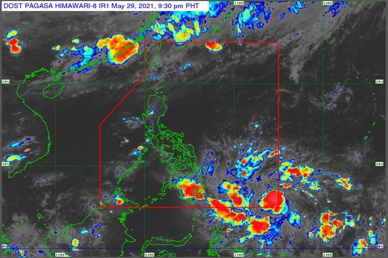
MANILA, Philippines — The state weather bureau is monitoring a low pressure area that may develop into a tropical cyclone in the next few days.
The Philippine Atmospheric Geophysical Astronomical Services Administration (PAGASA) said the new weather disturbance was expected to enter the Philippine area of responsibility yesterday.
It may develop into a tropical depression within 36 hours and will be named Dante, PAGASA said.
As of 3 p.m., the low-pressure area was at 1,095 kilometers east of Mindanao and moving westward.
PAGASA said once it enters the Philippine area of responsibility, it can either stay over the ocean and veer along the East Philippine Sea or make landfall.
Some forecast models showed that the weather disturbance can make landfall and hit the Eastern Visayas area.
It is expected to bring rains over the eastern portions of both the Visayas and Mindanao.
PAGASA said generally fair weather will be prevalent over Luzon and Metro Manila as these areas will have no direct effect yet from the low-pressure area.
Temperatures in Metro Manila will range between 26 and 34 degrees Celsius.


- Latest
- Trending


