'Ineng' slows down, still likely to strengthen into severe tropical storm within 24 hours
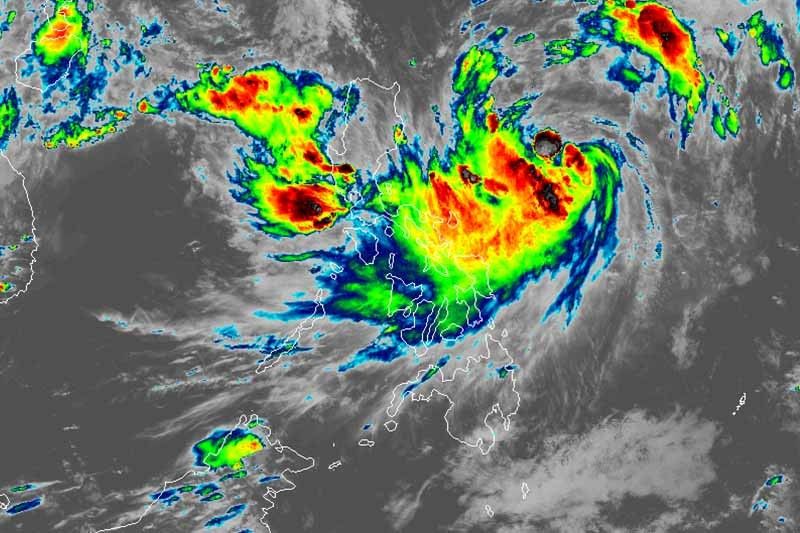
MANILA, Philippines — Tropical Storm Ineng (international name: Bailu) slightly slowed down Thursday afternoon as it heads west-northwest, weather forecasters said.
In a 5 p.m. bulletin, state weather bureau PAGASA said “Ineng” is now moving at 10 kilometers per hour—slightly slower from the previous 15 kph.
It, however, maintained its maximum sustained winds of 75 kph near the center and gusts of up to 90 kph.
The tropical storm—which is seen to intensify into a severe tropical storm within 24 hours—was last spotted 670 km of Casiguran, Aurora.
Tropical Cyclone Signal No. 1 remains hoisted over:
- Batanes
- Cagayan including Babuyan Groups of Islands
- Isabela
- Apayao
- Kalinga
- Northern Abra
- Ilocos Norte
Winds of 30 to 60 kph or intermittent rains may be experienced in these areas within 36 hours.
“Ineng” remains less likely to hit any part of the Philippine landmass. But it is expected to inch closer to extreme northern Luzon by Friday afternoon.
It may leave the Philippine area of responsibility between late Saturday evening and early Sunday morning.
Moderate to occasionally heavy rains will prevail over Catanduanes tonight.
Those living in Metro Manila, Ilocos, Cordillera Administrative Region, Zambales, Bataan, Cavite, Batangas, Mindoro provinces, northern portions of Palawan (including Calamian and Cuyo Islands), Antique, Aklan and the rest of Bicol, meanwhile, will experience light to moderate with intermittent heavy rains.
By tomorrow, moderate to heavy rains may be experienced over Batanes (including Babuyan Group of Islands), Ilocos Norte and Apayao.
Meanwhile, light to moderate with intermittent heavy rains may prevail over Metro Manila, Central Luzon, Cavite, Batangas, Mindoro provinces, northern portions of Palawan, and the rest of Ilocos region, CAR and Cagayan Valley.
Sea travel over the eastern seaboards of Central Luzon, Southern Luzon and Visayas is still dangerous due to potentially rough sea conditions.
Forecast positions
- Friday afternoon: 370 km east southeast of Basco, Batanes
- Saturday afternoon: 270 north northwest of Basco, Batanes
- Sunday afternoon: 785 km northwest of Basco, Batanes (outside PAR)
- Monday afternoon 1,230 km northwest of Basco, Batanes (outside PAR)


- Latest
- Trending