'Gorio' intensifies; PAGASA monitors another cyclone
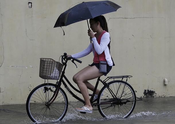
A woman uses an umbrella as she crosses a flooded street due to strong rains caused by a tropical storm locally named Gorio in the outskirts of Manila, Philippines on Wednesday, July 26, 2017. Strong rains caused floods in low-lying areas and classes were suspended in most schools in the capital due to bad weather. AP/Aaron Favila
MANILA, Philippines — An intensified Severe Tropical Storm Gorio and another tropical depression that has yet to enter the Philippine area of responsibility will continue to enhance monsoon rains over Luzon and Visayas.
Moderate to occasionally heavy rains are expected over the western section of Luzon, including Metro Manila, while the rest of Luzon and Visayas will experience light to moderate rains, PAGASA said in its 5 a.m. severe weather bulletin on Friday.
The eye of "Gorio" was estimated at 545 km east northeast of Tuguegarao City, Cagayan at 4 a.m.
The state weather bureau said the severe tropical storm brings an estimated moderate to heavy rainfall amount within its 550 km diameter. It is forecast to move northwest at 15 kph and forecast to exit PAR on Monday next week.
Public storm warning signal no. 1 is still hoisted in the Batanes group of islands.
Meanwhile, the tropical depression hovering over the West Philippine Sea was estimated at 450 km West of Calayan, Cagayan.
Forecast positions
- 24 hours (Saturday morning): 245 km northeast of Basco, Batanes
- 48 hours (Sunday morning): 380 km north northwest of Basco, Batanes
- 72 hours (Monday morning): 590 km north northwest of Basco, Batanes (outside PAR)
- 96 hours (Tuesday morning): 785 km north northwest of Basco, Batanes (outside PAR)
- 120 hours (Wednesday morning): 925 km north northwest of Basco, Batanes (outside PAR)


- Latest
- Trending