'Chedeng' maintains strength, to exit PAR within 2 days
MANILA, Philippines (Updated 5:37 p.m.) — Typhoon Chedeng continues to keep its strength as it accelerates north northeastward over the Philippine Sea, according to the latest update from the state weather bureau on Saturday.
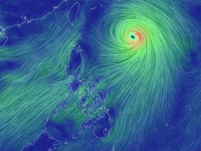
In a bulletin issued at 5 p.m. Saturday, PAGASA said Chedeng was last located 870 kilometers east of northern extreme Luzon.
Chedeng was moving north northeastward at 20 kilometers per hour. It has maximum sustained winds of 150 kilometers per hour near the center and gustiness of up to 185 kph.
Although Chedeng is unlikely to directly bring heavy rainfall to the country in the next three days, the southwest monsoon is expected to bring occasional rains over the western parts of Luzon and Visayas during this period.
PAGASA said that there is no immediate need to raise wind signals due to tropical cyclone severe winds. However, the enhancement of the southwest monsoon over the next three days may bring gusty conditions to the following areas, especially in coastal and upland/mountainous areas:
- Saturday: Metro Manila, CALABARZON, MIMAROPA, Bicol Region, Visayas, Zambales, Bataan, Camiguin, and Dinagat Islands.
- Sunday: Ilocos Region, Metro Manila, CALABARZON, MIMAROPA, Bicol Region, Western Visayas, Batanes, Babuyan Islands, Abra, Benguet, Nueva Vizcaya, Aurora, Zambales, Bataan, Bulacan, and Northern Samar.
- Monday: Ilocos Region, Cordillera Administrative Region, Metro Manila, CALABARZON, Bicol Region, Batanes, Babuyan Islands, Nueva Vizcaya, Aurora, Zambales, Bataan, Bulacan, Marinduque, Romblon, Occidental Mindoro, the northern portion of Palawan including Calamian, Cuyo, and Kalayaan Islands, Antique, and Aklan.
Coastal waters are also expected to be affected by Chedeng, with moderate to rough seas (2.0 to 3.5 meters) predicted over the seaboards of extreme northern Luzon and the eastern seaboard of mainland northern Luzon within the next 24 hours.
Mariners of small seacraft are strongly advised to take precautionary measures before venturing out to sea. Inexperienced or ill-equipped vessels are strongly urged to avoid navigating in these challenging conditions.
Chedeng is projected to remain far from the Philippine landmass. It is forecasted to move north northeastward on Saturday, continuing in that direction until Sunday afternoon, before accelerating northeastward towards the sea southeast of Japan and east of the Ryukyu Islands.
There is a possibility that Chedeng may exit the Philippine Area of Responsibility (PAR) between late Sunday evening or early Monday morning.
PAGASA forecasts that Chedeng will maintain its strength for the next 12 hours before entering a weakening trend Sunday. However, the tropical cyclone is expected to remain a typhoon within the forecast period.
Forecast position
- Saturday, 8:00 p.m. - 870 km east of extreme northern Luzon
- Sunday, 8:00 a.m. - 1,010 km east northeast of extreme northern Luzon
- Sunday, 8:00 p.m. - 1,240 km east northeast of extreme northern Luzon
- Monday, 8:00 a.m. - 1,535 km east northeast of extreme northern Luzon (outside PAR)
- Monday, 8:00 p.m. - 1,902 km east northeast of extreme northern Luzon (outside PAR)


- Latest
- Trending