Florita exits PAR; 11 areas still under Signal No. 1
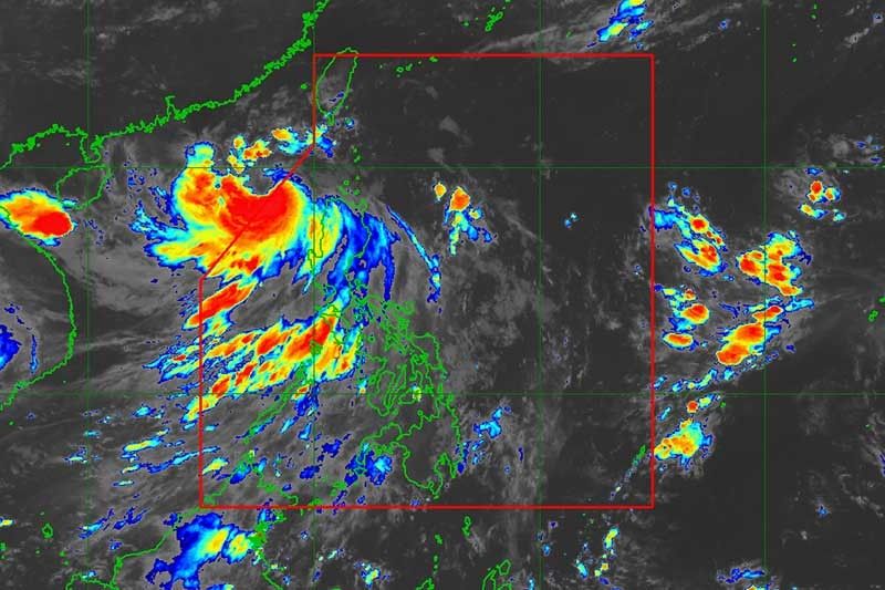
MANILA, Philippines — Severe Tropical Storm Florita (Ma-on) left the Philippine Area of Responsibility, but Tropical Cyclone Wind Signal No. 1 remained over parts of Northern Luzon on Wednesday morning.
The center of the tropical cyclone was last seen 335 kilometers west of Calayan, Cagayan with peak winds of 95 kph and gusts of up to 115 kph. It was heading west northwest at 30 kph.
PAGASA raised Signal No. 1 over the following areas:
- Batanes
- Babuyan Islands
- Western portion of mainland Cagayan (Claveria, Santa Praxedes, Sanchez-Mira, Pamplona, Abulug, Ballesteros, Allacapan, Aparri, Lasam, Santo Niño, Rizal)
- Apayao
- Abra
- Western portion of Kalinga (Balbalan, Pasil, Tinglayan)
- Western portion of Mountain Province (Bauko, Tadian, Besao, Sagada, Sabangan, Bontoc, Sadanga)
- Northern and western portions of Benguet (Mankayan, Bakun, Kibungan, Kapangan, Tublay, La Trinidad, Sablan, Tuba, Baguio City, Atok)
- Ilocos Norte
- Ilocos Sur
- La Union
Strong winds — or strong breeze to near gale strength — will be experienced in areas under Signal No. 1.
What to expect
Moderate to heavy rains are expected in the Ilocos region, Abra, and Benguet, while light to moderate with at times heavy rains are forecast in the Cordillera Administrative Region until this morning.
Residents of Ilocos region may experience light to moderate with at times heavy rains this afternoon.
“Rainfall caused by Florita is forecast to gradually weaken throughout the day,” PAGASA said, but it warned that scattered flooding and rain-induced landslides are still expected.
Meanwhile, the southwest monsoon may continue to dump rains over the western sections of Central and Southern Luzon in the next 24 hours.
Gusts reaching strong breeze to gale-force strength may still be felt in MIMAROPA, Metro Manila, Cavite, Quezon, Bulacan, Pampanga, Pangasinan, Aurora, and localities of Cordillera Administrative Region and Cagayan Valley that are not under any wind signal.
A gale warning over the seaboards of Northern and Central Luzon also remains in effect due to the tropical cyclone and the southwest monsoon.
The storm is seen to head west northwest over the West Philippine Sea. It is expected to make landfall in China Thursday morning or early afternoon.
Forecast position
- Aug 24, 2022 02:00 PM - 585 km West of Basco, Batanes (Outside PAR)
- Aug 25, 2022 02:00 AM - 855 km West of Extreme Northern Luzon (Outside PAR)
- Aug 25, 2022 02:00 PM - 1,165 km West of Extreme Northern Luzon (Outside PAR)
- Aug 26, 2022 02:00 AM - 1,520 km West Northwest of Extreme Northern Luzon (Outside PAR)
— Gaea Katreena Cabico


- Latest
- Trending