


‘Ofel’ makes second landfall in Sorsogon; Signal No. 1 up in 8 areas
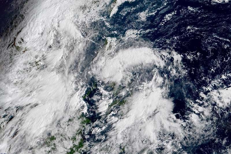
MANILA, Philippines — Tropical Depression Ofel is hovering over the inland seas of southern Luzon after making its second landfall in Sorsogon Wednesday morning, weather forecasters said.
“Ofel” was last seen 30 kilometers southwest of Juban, Sorsogon or 30 km northeast of Masbate City after crashing into Matnog, Sorsogon at 6 a.m. It previously made landfall in Can-avid, Eastern Samar.
The tropical depression is bearing peak winds of 45 km per hour near the center and gusts of up to 55 kph. It is moving west northwest at 25 kph over the inland seas of southern Luzon and may pass close or over Masbate, Romblon and Mindoro provinces.
PAGASA said “Ofel” is expected to remain a tropical depression while crossing the southern Luzon area.
Tropical Cyclone Wind Signal No. 1 has been hoisted over the following areas:
- Batangas
- Southern portion of Laguna (Luisiana, Majayjay, Liliw, Nagcarlan, Rizal, San Pablo City, Calauan, Alaminos, Los Baños, Bay and Magdalena)
- Southern portions of Quezon (Guinayangan, Tagkawayan, Buenavista, San Narciso, San Andres, Mulanay,SanFrancisco, Catanauan, Lopez, Calauag, Quezon, Alabat, Perez, Atimonan, Tayabas City, Mauban, Sampaloc, Lucban, Gumaca, General Luna, Macalelon, Pitogo, Unisan, Plaridel, Padre Burgos, Agdangan, Pagbilao, Lucena City, Sariaya, Candelaria, Dolores, Tiaong, San Antonio)
- Burias Islands
- Northern Samar
- Eastern Samar
- Samar
- Biliran
Strong to near gale force winds will be experienced in areas under TCWS #1 once “Ofel” crosses.
The state weather bureau said that the tropical depression will bring moderate to hevy with at times intense rains over Bicol region, Calabarzon, Marinduque, Romblon and Mindoro provinces.
Meanwhile, residents of Metro Manila, Central Luzon, Northern Samar, Samar, Eastern Samar, and Biliran will experience light to moderate with at times heavy rains due to “Ofel” and over most of Mindanao due to southwest monsoon.
Occasional gusts associated with the northeasterly surface wind flow enhanced by “Ofel” and Tropical Storm Nangka, which is outside PAR, may affect Batanes, northern and eastern portions of Cagayan (including Babuyan Islands), northern portion of Apayao, Ilocos Norte, and Quezon, the eastern portion of Isabela and Aurora, especially in coastal and mountainous areas.
PAGASA warned that flooding, including flash floods, and rain-induced landslides may happen during heavy or prolonged rainfall particularly in areas that are very susceptible to these hazards.
“Ofel” is forecast to emerge over the West Philippine Sea Thursday morning and exit the Philippine Area of Responsibility Friday. It may intensify into a tropical storm after emerging over the West Philippine Sea.
Gale warning is in effect over the seaboards of Batanes and Ilocos Norte and the northern seaboard of Cagayan including Babuyan Islands due to rough seas associated with the northeasterly surface wind flow. Sea travel is risky over these areas.
Moderate to rough seas due to “Ofel” will be experienced over the eastern seaboards of Luzon and Visayas and in the next 24 hours, especially in areas where TCWS No. 1 is raised.
Forecast positions
- Thursday morning: 140 km west of Calapan City, Oriental Mindoro
- Friday morning: 570 west of Calapan City, Oriental Mindoro
- Saturday morning: 1,015 km west of southern Luzon (outside PAR)


- Latest
- Trending


