


Tropical depression to enter PAR today
CEBU, Philippines - The state weather bureau has alerted all disaster control units over a looming weather disturbance, which is the second to enter the Philippine Area of Responsibility this month after Crising.
The National Disaster Risk Reduction and Management Council had already issued advisory yesterday calling for its local counterparts to prepare for another tropical depression.
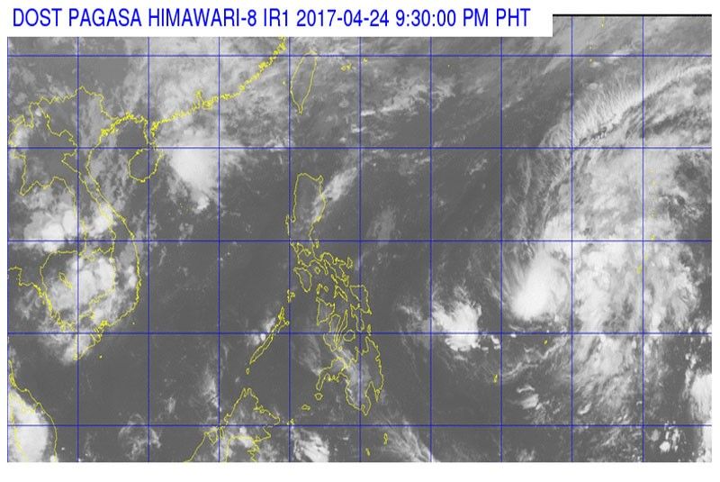
Based on the weather bulletin released by the Philippine Atmospheric Geophysical and Astronomical Services Administration yesterday, the tropical depression was spotted 1,540 kilometers east of Mindanao hovering outside PAR, the imaginary boundary enclosing the country.
It was expected to enter PAR last night or early today and will be called Dante, the fourth tropical cyclone to enter the country so far this year. The weather condition has a maximum wind of 45 kilometers per hour.
PAGASA-Cebu officer-in-charge Engineer Alfredo Quiblat Jr. said there is less than 50 percent probability that it will intensify. It was observed to be moving slow in the direction of west-northwest.
Quiblat said that there is a possibility that it will change direction to northeast and move away from the Philippine landmass because of its interaction with a "frontal system."
Quiblat added that there is less chance of making a landfall and will only cross the Philippine seas while heading to Japan if it will not dissipate.
He said it might get near the Luzon region by Thursday and Friday, around 300 kilometers away from the landmass and might have indirect effect to Visayas regions as it may bring light to moderate rains.
Quiblat said that based on its 30-year historical data, an average of zero or one tropical cyclone enters PAR in April but the average has been surpassed because of tropical depression Crising during the Holy Week.
Crising brought heavy rains in northern Cebu that caused damage to flooded farmlands and claimed at least nine lives in Danao City and Carmen town. (FREEMAN)


- Latest


