LIST: Metro Manila road constructions in coming months
MANILA, Philippines — The Department of Public Works and Highways and the Metro Manila Development Authority have roadway construction projects lined up in the next months expected to aggravate the already problematic traffic situation in the capital region.
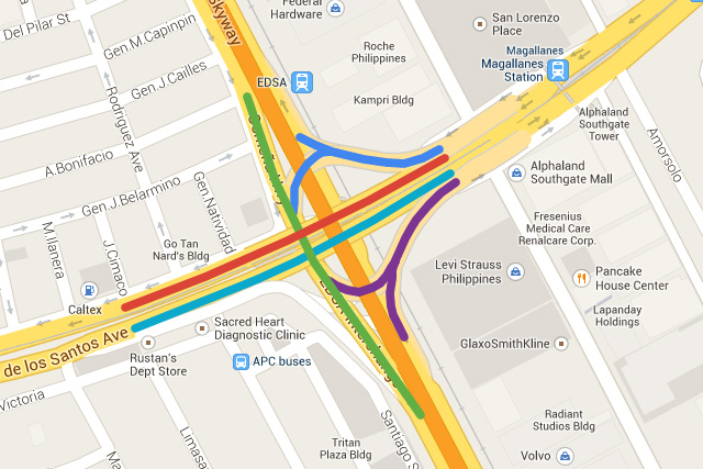
Magallanes Interchange
Makati City
Repair, strengthening and asphalt overlay
Monday to Friday, including Saturday to Sunday
Duration: August 7 to October 26
Traffic build-up: Osmeña Highway to South Luzon Expressway (SLEX)
Alternative route: Service Road along Osmeña Highway
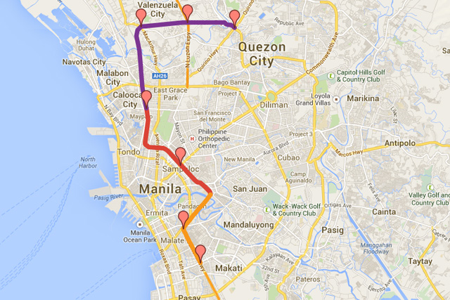
Metro Manila Skyway
Stage 3, NLEx to SLEx connector
Location: Buendia, Makati City to Balintawak, Quezon City
Duration: April 2014 to December 2015
NLEx–SLEx Link Expressway
Location: Terminus of Segment 10 of North Luzon Expressway (NLEX) to the Skyway/South Luzon Expressway (SLEX) passing through C-3 (Caloocan City), Jose Abad Santos St., Blumentritt St., Dimasalang St., Ramon Magsaysay Blvd., Nagtahan St., Quirino Avenue and Buendia Avenue (Makati City)
Duration:
Design and construction from January 2014 to December 2017
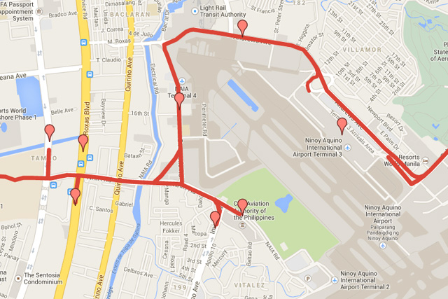
NAIA Expressway Phase 2
Location: Sales Road to Macapagal Ave., Pasay City and Parañaque City
Duration:
Phase 2A from January 2014 to May 2015
Phase 2B from April 2014 to October 2014
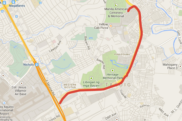
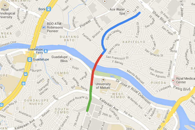
CP Garcia Avenue (C5) – McKinley Hill Ramp
Location: Fort Bonifacio Global City, Makati City
Duration: March 2014 to August 2014
Bonifacio Global City – Ortigas Center
Link road project
Duration:
Sta. Monica–Lawton Bridge from July 2014 to June 2016
Lawton–Global City Viaduct from July 2015 to June 2016
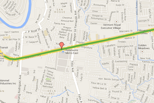
LRT Line 2 – East Extension Project
Location: Marcos Highway (Santolan, Pasig City to Masinag, Antipolo City)
Duration:
Civil works from July 2014 to January 2016
Electro-mechanical works from November 2014 to June 2016
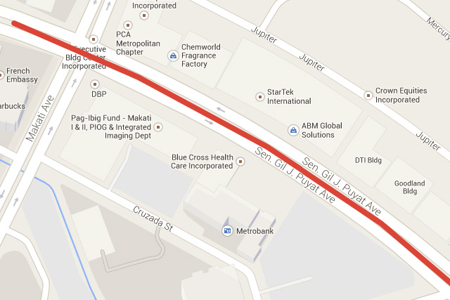
Sen. Gil Puyat Ave. – Makati Ave. – Paseo De Roxas
Vehicle underpass project
Location: Sen. Gil Puyat Ave. (Buendia Ave.), Makati City
Duation: August 2014 to April 2016
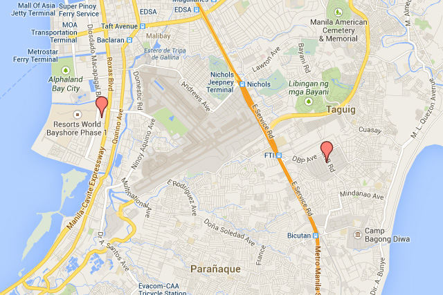
Integrated Transport System (ITS) Terminals
Development of the South (FTI) and Southwest (PRA) Terminals
Location:
FTI Terminal: Food Terminal Incorporated Compound in Taguig City (5.57 hectares)
PRA Terminal: Philippine Reclamation Area near Uniwide Coastal Mall (2.91 hectares)
Duration:
FTI Terminal from October 2014 to June 2016
PRA Terminal from July 2014 to March 2016
LRT Line 1 – Cavite Extension
Location: Baclaran to Bacoor, Cavite
Duration: July 2014 to December 2018
- Latest
- Trending


