LPA off Catanduanes now tropical depression Maring
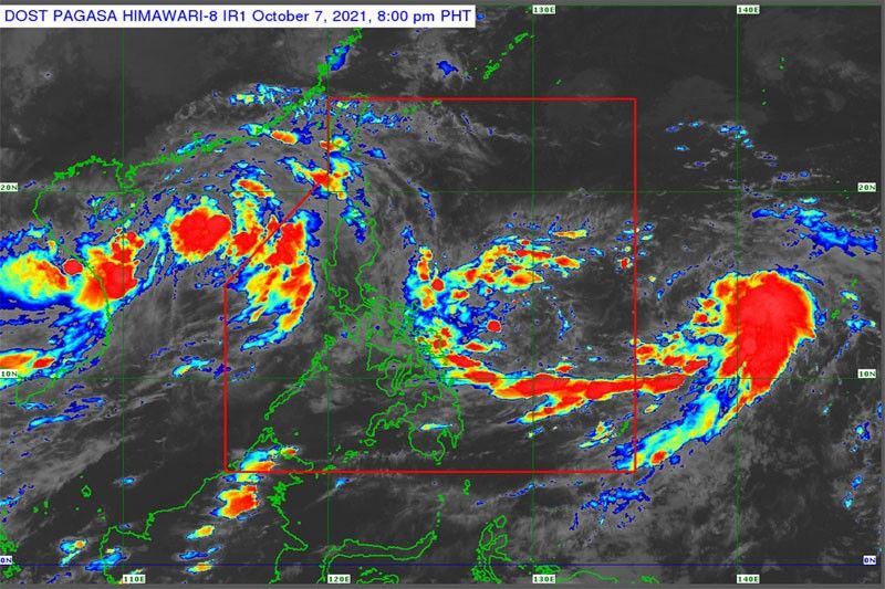
MANILA, Philippines — A low-pressure area spotted off the coast of Catandanues developed into tropical depression Maring yesterday.
The Philippine Atmospheric, Geophysical and Astronomical Services Administration (PAGASA) said the weather disturbance would bring rains over Eastern Visayas.
Maring was monitored 505 kilometers east of Virac as of 4 p.m. yesterday. It was carrying maximum sustained winds of 45 kms per hour near the center and gustiness of up to 55 kph.
Tropical cyclone wind signals are expected to be hoisted over provinces in Northern Luzon by weekend.
PAGASA said Maring would accelerate as it moves north-northwest over the Philippine Sea by tomorrow.
The tropical depression is expected to intensify into a tropical storm by Sunday afternoon.
It will move west-northwest toward extreme Northern Luzon and either pass close to or make landfall over Babuyan Islands by Monday.
Meanwhile, the intertropical convergence zone and the trough of Maring will bring scattered rains and thunderstorms over Metro Manila and most parts of Luzon. These are in Calabarzon, Central Luzon, Ilocos, Bicol, Eastern Visayas, Benguet, Abra, Batanes, Babuyan Islands, Mindoro and Marinduque.


- Latest
- Trending