New LPA spotted off Quezon, but PAGASA says unlikely to intensify
MANILA, Philippines — State weather bureau PAGASA said a new low pressure area was seen in Northern Luzon on Thursday and could bring rains over Cagayan-Isabela area starting tonight.
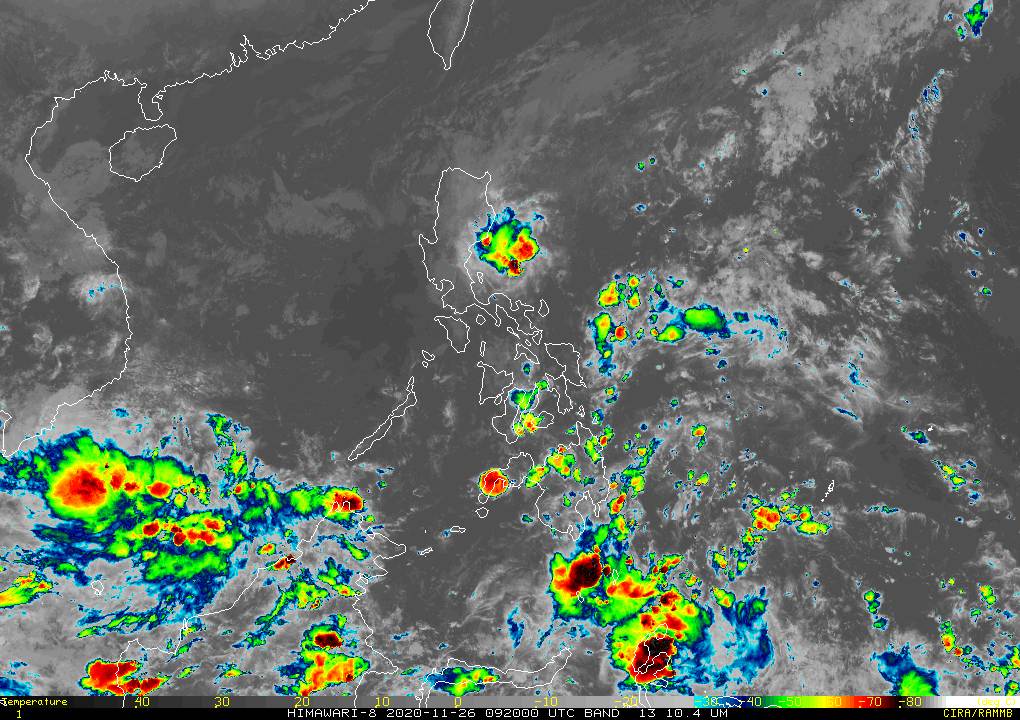
The agency in its 5 p.m. forecast said the weather disturbance developed into an LPA this morning and was last seen at 265 kilometers east of Infanta in Quezon province this afternoon.
PAGASA, however, said that while rains could persist until Friday morning, it is less likely to develop into a tropical depression.
"'Di natin ito nakikitaan ng potential na magpapatuloy dahil nga malamig ang hangin sa ibabaw at patuloy pa rin umiiral ang ating hanging Amihan dito sa malaking bahagi ng Luzon," said weather specialist Raymond Ordinario.
(We are not seeing this to eventually intensify due to the prevailing Amihan in the larger parts of Luzon.)
Ordinario added that apart from the LPA, no other weather disturbances are seen to enter the Philippine Area of Responsibility at any time, and the country would be typhoon-free in the next three to five days.
Colder mornings are expected over the areas of Cagayan Valley, Aurora and Quezon and the eastern portion of Northern and Central Luzon due to winds brought by the Amihan.
Weather across the country is seen to be generally fair tomorrow Friday, except for the Cagayan region, which could see cloudy skies and chances of rain due to the tail end of a cold front.
There is also a chance of isolated thunderstorms in the rest of Luzon including Metro Manila, Bicol and MIMAROPA despite the sunny weather forecast.
Ilocos and the Cordillera Administrative Region will see small chances of rain as well.
PAGASA said effects of the Amihan have yet to be felt in Visayas and Mindanao which as a result, could see isolated thunderstorms prevailing.
Early this month, the agency said it is expecting three storms to enter the country in November, with the latest being Typhoon "Ulysses" (international name Vamco) which left an extensive damage in Luzon and had resulted in the entire island being placed under a state of calamity.
Gale warning is also up over the following areas still due to the northeast monsoon:
- Batanes
- Cagayan
- Babuyan Islands
- Isabela
- Aurora
- Ilocos Sur
- Western coast of Ilocos Norte
- Camarines Norte
- Northern coast of Camarines Sur
- Northern and eastern coasts of Catanduanes
- Northern Quezon (General Nakar)
- Polilio Islands (Panukulan, Northern Burdeos, Northern and Eastern coasts of Patnanugan, Jomalig) — Christian Deiparine


- Latest
- Trending