'Enteng' slightly intensifies as it heads north, bringing rain across Philippines
MANILA, Philippines — Tropical Depression Enteng has slightly intensified as it moves north toward the Philippine Sea, state weather bureau PAGASA said Saturday.
At 10 a.m., the center of "Enteng" was estimated at 420 kilometers east northeast of Casiguran, Aurora or 445 km east of Tuguegarao City, Cagayan.
It is moving north at 25 kilometers per hour with maximum sustained winds of 55 kph near the center and gustiness of up to 70 kph.
The tropical depression will remain far from the Philippine landmass, PAGASA reported.
"Enteng" is expected to head over the southern islands of the Ryukyu archipelago and exit the Philippine Area of Responsibility Sunday afternoon.
There is no tropical cyclone wind signal in effect over the country.
Rainfall outlook
Weather forecasters said scattered light to moderate with at times heavy rains will be experienced over Bicol region.
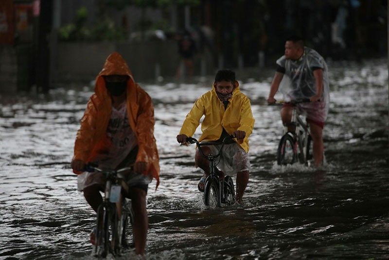
The southwest monsoon is predicted to bring monsoon rains over Pangasinan, Zambales, Bataan, Bulacan, Metro Manila, Cavite, Mindoro Provinces, Calamian Islands and Kalayaan Islands; and occasional rains over Western Visayas and the rest of Luzon..
On Sunday, the southwest monsoon is expected to bring monsoon rains over Pangasinan, Zambales, Bataan, Bulacan, Metro Manila, Cavite, Mindoro Provinces, Calamian Islands and Kalayaan Islands; and occasional rains over Western Visayas and the rest of Luzon.
PAGASA warned about flooding and rain-induced landslides during heavy or prolonged rainfall.
Sea travel is risky, especially for those using small seacrafts while venturing out over the seaboards of Luzon and Visayas, PAGASA added.
Forecast positions
- 24 hour (Sunday morning): 505 km northeast of Basco, Batanes
- 48 hour (Monday morning): 1,265 km north northeast of Basco, Batanes


- Latest
- Trending