Tropical depression Samuel to hit Visayas, Mindanao
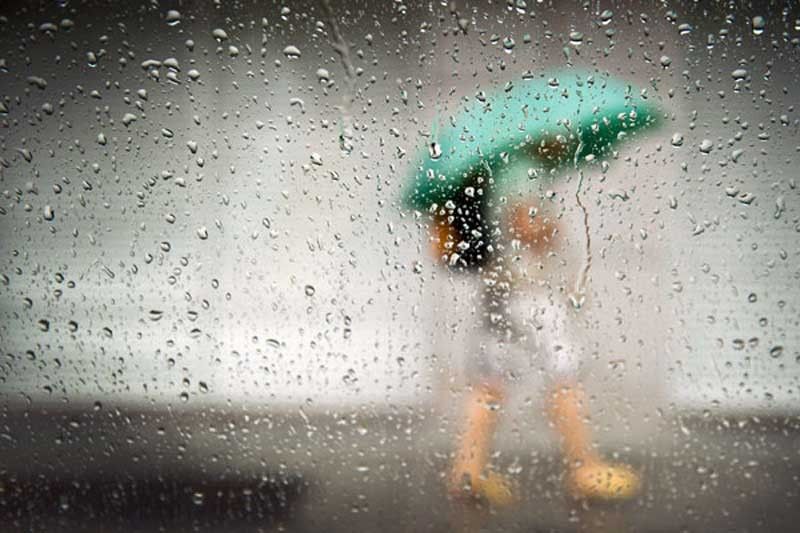
MANILA, Philippines — Residents of the Visayas and Mindanao should brace for inclement weather next week due to an approaching tropical depression to be locally named Samuel.
The Philippine Atmospheric, Geophysical and Astronomical Services Administration (PAGASA) said the weather disturbance was forecast to develop into a severe tropical storm before it enters the country tomorrow.
Ezra Bulquerin, PAGASA weather specialist, said the trough of the weather disturbance would start to bring rains over the Davao region on Monday.
PAGASA senior weather specialist Gener Quitlong said the cyclone was spotted 2,010 kilometers east of Hinatuan, Surigao del Sur as of 3 p.m. yesterday, packing winds of 45 kms per hour near the center and gustiness of up to 60 kph.
The weather system was forecast to move west at 20 kph.
Quitlong said the cyclone was expected to make landfall over Caraga on Tuesday or Wednesday before it would move toward Central and Western Visayas and exit through Palawan.
The typhoon is forecast to leave the Philippine area of responsibility on Thursday or Friday.
Quitlong said a low-pressure area over Palawan has left the country, but its trough or extension would still bring light to moderate rains over the province.
He said good weather, apart from isolated rains due to thunderstorms, would continue to prevail in the rest of the country until Monday.
The forecast temperature in Metro Manila is from 24 to 33 degrees Celsius and 15 to 25 degrees Celsius in Baguio City. Tropical cyclones during the last quarter of the year are stronger and usually affect the central and southern part of the country, according to the weather bureau.


- Latest
- Trending