PAGASA lifts remaining storm signal due to 'Lannie'
MANILA, Philippines — PAGASA on Tuesday noon lifted the remaining tropical cyclone wind signal in the country due to Tropical Depression "Lannie" as it continues to approach the West Philippine Sea.
The weather bureau in its 11 a.m. bulletin said Lannie was last seen at 165 kilometers west of Coron in Palawan.
It packs 45 kilometers per hour maximum sustained winds, and gustiness of up to 55 kph.
This weather disturbance moves west northwestward at a speed of 25 kph.
Before noon, Signal No. 1 was up over the northern portion of Palawan or in El Nido, Taytay, Dumaran and Araceli, including Calamian Islands.
But PAGASA said moderate to heavy rains are still likely in the province including Calamian, Kalayaan, and Cuyo Islands today.
Metro Manila, meanwhile, could see light to moderate with at times heavy rains as well as Cordillera Administrative Region, Cagayan Valley, Central Luzon, Calabarzon, Bicol Region, Western Visayas, and the rest of Mimaropa.
"Under these conditions," forecasters said, "isolated to scattered flooding (including flashfloods) and rain-induced landslides are likely especially in areas that are highly or very highly susceptible to these hazard as identified in hazard maps."
Gale warning remains in effect over the northern and western seaboards of northern Luzon due to Lannie. Moderate to rough seas are also seen over the rest of the coastal waters in the country.
PAGASA said Lannie is seen to continue moving northwestward over the West Philippine Sea away from the country until Wednesday.
It is expected to leave the country's jurisdiction by afternoon or evening of that day.
Disaster officials have yet to report on the number of individuals affected by Lannie, but said 30 were preemptively evacuated.
The National Disaster Risk Reduction and Management Council added 221 passengers were stranded in Calabarzon, Mimaropa, Western Visayas and Eastern Visayas due to the tropical depression.
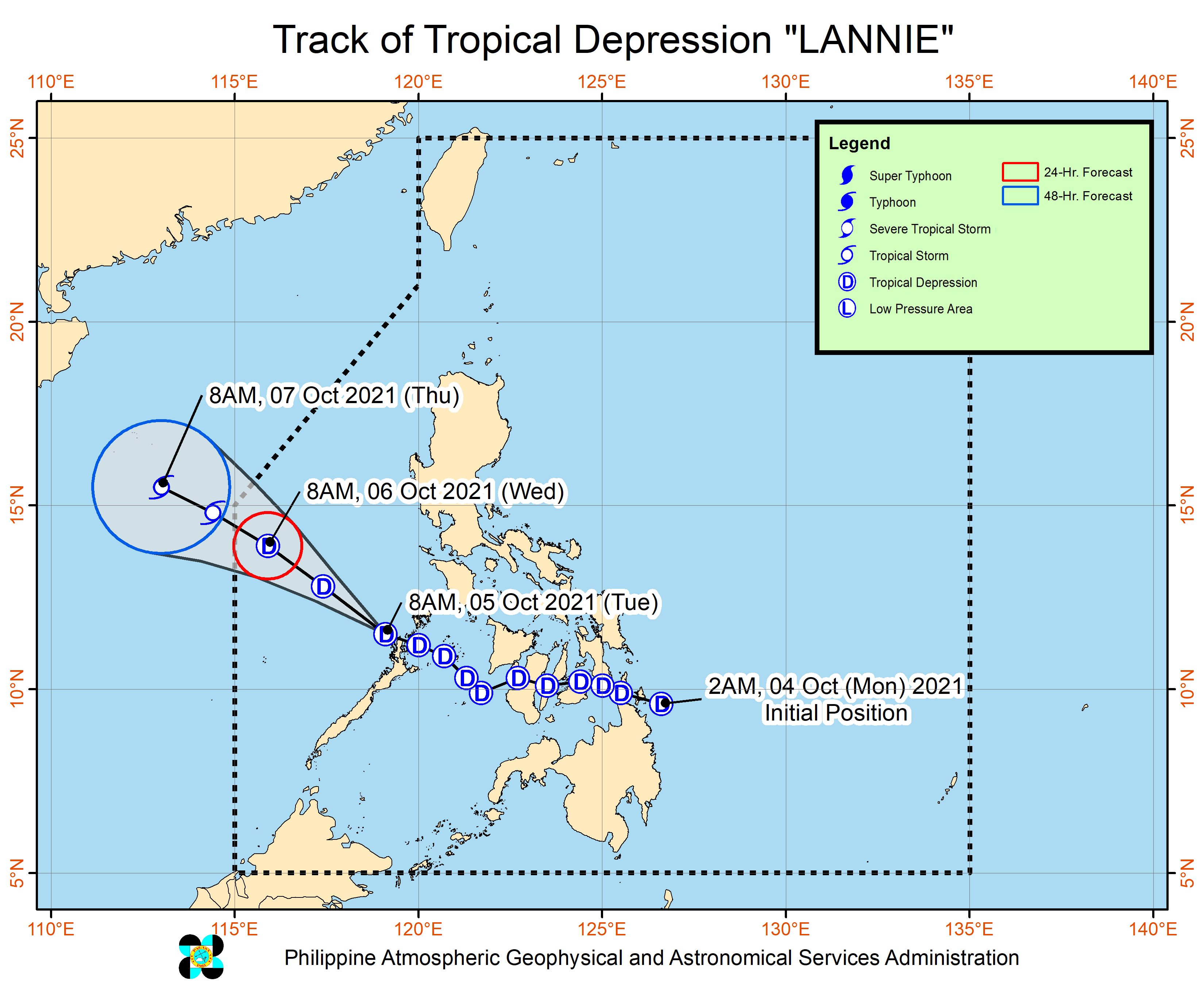
Forecast Position
- Wednesday morning: 555 km west of Tanauan City, Batangas
- Thursday morning: 750 km west of Iba, Zambales (outside PAR
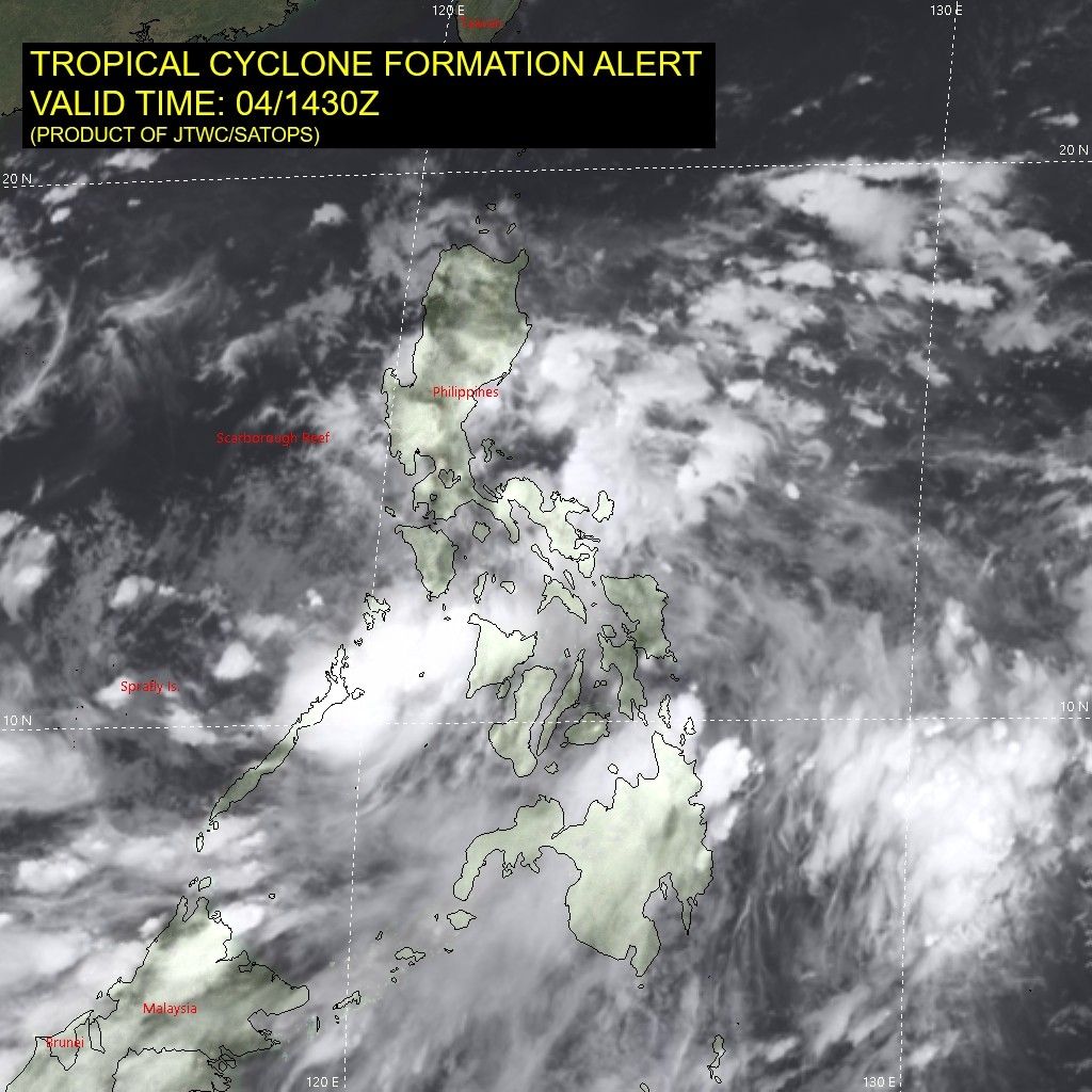
Follow this page for updates on Lannie, the 11th tropical cyclone to enter the Philippines on 2021. — Main photo from JTWC
Tropical Depression Lannie left the Philippine Area of Responsibility at 5 a.m., PAGASA weather specialist Ariel Rojas says in an interview with ANC.
However, it will still bring cloudy skies with scattered rains in Metro Manila, Central Luzon, Calabarzon and Mimaropa.
Tropical Depression Lannie is forecast to exit the Philippine Area of Responsibility on Wednesday morning.
State weather bureau PAGASA says the trough of the weather disturbance may bring rains over the western section of Mimaropa.
At 4 a.m., Lannie was located 670 km west of Calapan City, Oriental Mindoro with winds of 45 kh and gustiness of 55 kph. It is moving west northwestward at 25 kph.
All tropical cyclone warning signals have been lifted as Tropical Depression Lannie moves over the West Philippine Sea.
At 10 a.m., Lannie was located 165 km west of Coron, Palawan, packing maximum winds of 45 kph and gusts of up to 55 kph. It is moving west northwestward at 25 kph.
State weather bureau PAGASA says Lannie will exit the Philippine Area of Responsibility by Wednesday afternoon or evening.
Signal No. 1 is still up over the northern portion of Palawan (El Nido, Taytay, Dumaran, Araceli) including Calamian Islands due to Tropical Depression Lannie.
At 7 a.m., Lannie was located over the coastal waters of El Nido, Palawan with winds of 45 kph and gustiness of 55 kph. It is moving northwestward at 25 kph.
PAGASA says Lannie will continue tracking northwestward and west northwestward over the West Philippine Sea away from the country until tomorrow.
Tropical Depression Lannie is seen to make another landfall in the vicinity of northern mainland Palawan or Calamian Islands on Tuesday morning, state weather bureau PAGASA says.
At 4 a.m., Lannie was located 90 km northwest of Cuyo, Palawan or 70 km south southeast of Coron, Palawan winds of 45 kph and gustiness of 55 kph.
Signal No. 1 is raised over the southwestern portion of Romblon (Odiongan, Looc, Alcantara, Ferrol, Santa Fe, San Jose), the southern portion of Oriental Mindoro (Roxas, Mansalay, Bulalacao), the southern portion of Occidental Mindoro (Calintaan, Rizal, San Jose, Magsaysay), and the northern portion of Palawan (El Nido, Taytay, Dumaran, Araceli) including Calamian and Cuyo Islands, Antique and the western portion of Aklan (Madalag, Malinao, Ibajay, Nabas, Malay, Buruanga).


- Latest
- Trending