'Fabian' slightly intensifies, seen to exit PAR by Monday
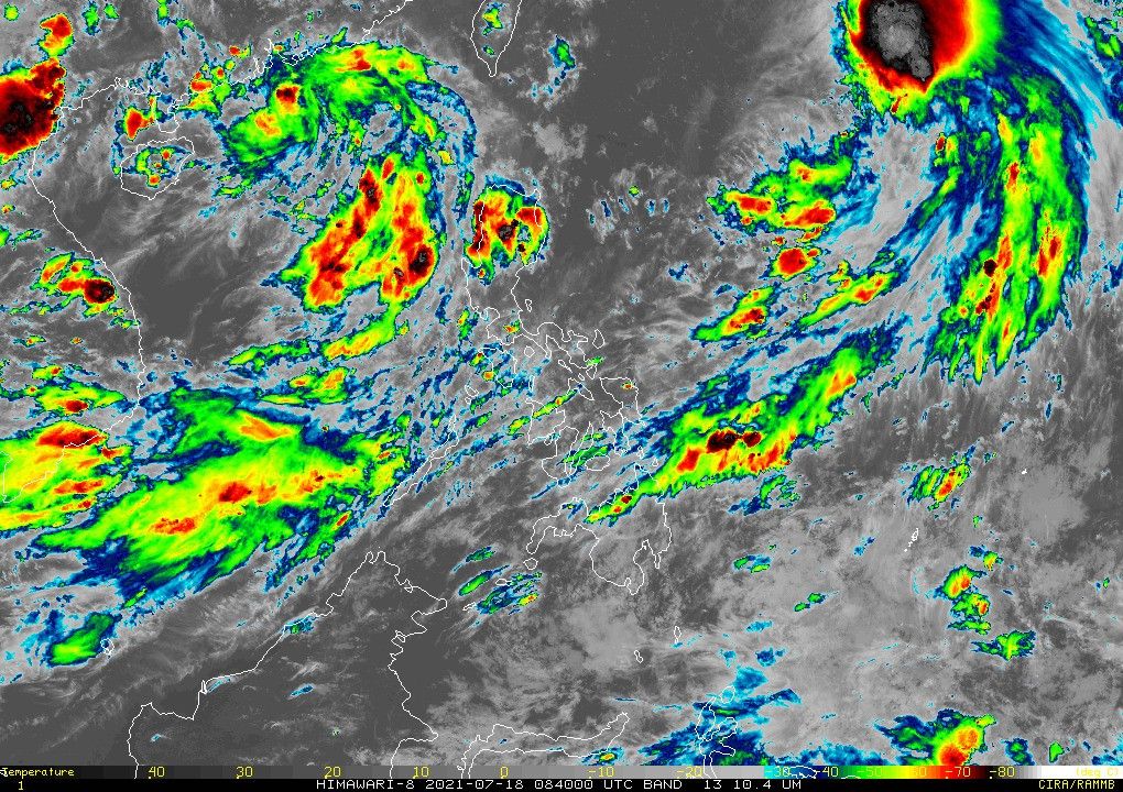
MANILA, Philippines — Tropical Storm "Fabian" slightly intensified as it continue to approach the Philippine Sea, PAGASA said on Sunday.
The agency in its afternoon bulletin said Fabian was last seen at 1,095 kilometers east northeast of extreme northern Luzon.
It now carries 75 kilometers per hour maximum sustained winds, and gustiness of up to 90 kph.
The sixth storm to enter the Philippines this year continues to move north northwestward at a speed of 10 kph.
PAGASA said there remains no storm signal up in any area across the country.
Fabian is also still unlikely to bring heavy rainfall in its forecast period.
Palawan, Occidental Mindoro, Zambales, and Bataan, meanwhile, will see monsoon rains due to Fabian and a tropical depression outside the Philippine Area of Responsibility.
The tropical storm is seen to move northwestward in the next 24 hours, and will exit the country by Monday evening or Tuesday morning.
Forecast Position
- Monday afternoon: 1,015 km east northeast of extreme northern Luzon
- Tuesday afternoon: 850 km northeast of extreme northern Luzon (Outside PAR)
- Wednesday afternoon: 645 km northeast of Itbayat, Batanes


- Latest
- Trending