Tropical Depression Emong seen to bring rains over Batanes, Babuyan Islands
MANILA, Philippines — State weather bureau PAGASA said Tropical Depression Emong is expected to bring rains over Batanes and Babuyan Island as it continued to approach extreme Northern Luzon Monday morning.
Emong was last spotted 385 kilometers east northeast of Tuguegarao City, Cagayan or 385 km east of Aparri, Cagayan.
It was moving west northwest at 40 km per hour and had peak winds of 55 kph near the center and gusts of up to 70 kph.
Tropical cyclone wind signal (TCWS) number 1 remains hoisted over the following areas:
- Batanes
- Northeastern portion of Cagayan (Santa Ana, Gonzaga) including Babuyan Islands
What to expect
Residents of areas under TCWS # 1 will experience strong winds during the passage of the tropical depression. PAGASA said the projected track and intensity suggest the possibility of raising TCWS # 2 over portions of areas presently under TCWS #1.
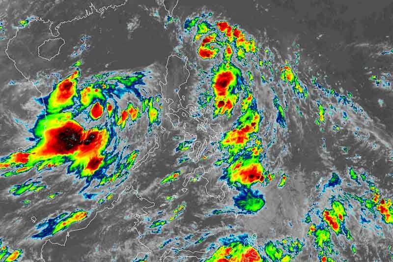
Emong is expected to bring moderate to heavy with at times intense rains over Batanes and Babuyan Islands until Tuesday morning.
Sea travel is risky over the seaboards of areas under TCWS #1 and the remaining seaboard of Cagayan due to rough to very rough seas (2.5 to 5.5 meters).
The state weather agency forecast Emong to either pass close to or make landfall in the vicinity of Batanes-Babuyan Islands on Monday afternoon or evening. The cyclone may likely leave the Philippine Area of Responsibility on Tuesday morning.
“However, due to the fast movement of the tropical depression, there is an increasing chance that the close approach or landfall will happen at a much earlier time,” it said.
Emong may also become a tropical storm in the next 12 hours but its intensification “is being deterred” by its speed.
Forecast positions
- Tuesday morning: 270 km northwest of Itbayat, Batanes (outside PAR)
- Wednesday morning: 860 km northwest of extreme Northern Luzon or in the vicinity of Sanming, Fujian, China
PAGASA is also monitoring a low pressure area spotted 375 km west of Calapan City, Oriental Mindoro.


- Latest
- Trending