Pepito expected to hit Luzon tonight
MANILA, Philippines — Residents of Northern and Central Luzon should brace for heavy rains and gusty winds as Tropical Depression Pepito is forecast to hit these areas between this evening and early tomorrow.
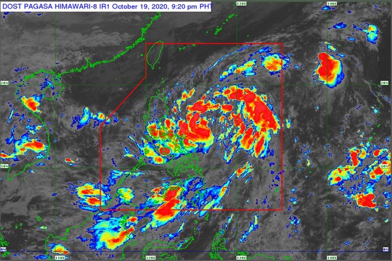
As of 5 p.m. yesterday, Tropical Cyclone Wind Signal No. 1 was hoisted over Isabela, Aurora, Quirino, eastern portion of Kalinga, eastern portion of Mountain Province, Ifugao, eastern portion of Nueva Vizcaya, Nueva Ecija and the northern portion of Quezon.
Areas under Signal No. 1 may experience intermittent rains with occasional gusty winds of up to 60 kilometers per hour (kph) in the next 36 hours, the Philippine Atmospheric, Geophysical and Astronomical Services Administration (PAGASA) warned.
Pepito, the country’s 16th cyclone to enter the country this year, started to dump rains over Quezon, Bicol region, Eastern and Central Visayas and Mindanao yesterday as it moved closer to Luzon.
The cyclone was forecast to move west northwest or northwest yesterday, then west today toward the Northern-Central Luzon area, PAGASA said.
It was expected to intensify into a tropical storm before it makes landfall over the eastern section of Northern and Central Luzon, the agency said.
After crossing the landmass of Luzon, Pepito is likely to intensify further over the West Philippine Sea and may reach severe tropical storm category by Thursday, PAGASA said.
As of 4 p.m. yesterday, the center of the tropical depression was located at 410 kilometers east of Virac, Catanduanes, packing winds of 55 kph near the center and gustiness of up to 70 kph.
It was moving west northwest at a speed of 20 kph.
Metro Manila will experience cloudy skies with rain showers until Thursday.
PAGASA also warned against rough to very rough seas with waves of up to 4.5 meters high over the seaboards of Batanes, Cagayan, Ilocos Norte, Ilocos Sur and Isabela due to the northeasterly windflow, which was enhanced by Pepito.
Pepito was forecast to exit the Philippine area of responsibility on Thursday.


- Latest
- Trending