Storm Dindo to exit tomorrow
MANILA, Philippines — Tropical Storm Dindo (international name Hagupit) was forecast to exit the Philippine area of responsibility in the next 12 hours, but the southwest monsoon and the trough or extension of a new low-pressure area would continue to bring rains in some parts of the country today.
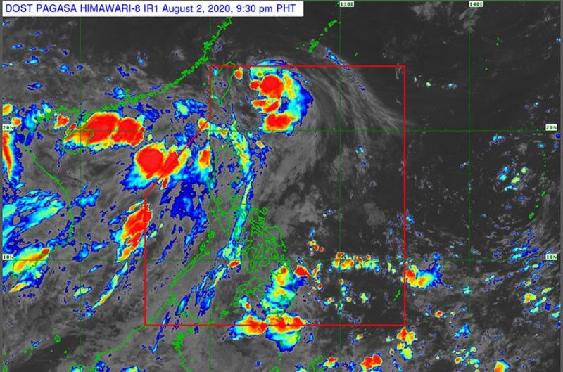
The center of the storm was located at 405 kilometers northeast of Basco, Batanes as of 3 p.m. yesterday, packing winds of 85 kilometers per hour (kph) near the center and gustiness of up to 105 kph.
Dindo, the fourth cyclone to enter the country this year, was projected to move northwest at a speed of 15 kph, according to the Philippine Atmospheric, Geophysical and Astronomical Services Administration (PAGASA).
It was forecast to leave the country between last night and this morning, PAGASA senior weather forecaster Chris Perez said.
Perez said the southwest monsoon will continue to bring rains over most parts of Luzon, including Metro Manila today.
The trough of a low pressure area east of Mindanao, on the other hand, will bring scattered rains and thunderstorms over Caraga and Davao regions.
Perez also warned against big waves of up to 4.5 meters high over the northern and western seaboards of Northern Luzon and over the western seaboards of Central Luzon due to the southwest monsoon and Dindo.
He said Metro Manila residents can expect an improvement in weather conditions by tomorrow.
Perez said no new tropical cyclone is expected to form within the Philippine area of responsibility in the next three days.


- Latest
- Trending