La Niña probable in last quarter — PAGASA
MANILA, Philippines — The Philippine Atmospheric, Geophysical and Astronomical Services Administration (PAGASA) is seeing a probable onset of the La Niña weather phenomenon by the last quarter of the year.
In an online forum with Science and Technology Secretary Fortunato dela Peña last Friday, PAGASA deputy administrator and officer-in-charge for research and development Esperanza Cayanan said they have done a climate forecast for the year, which shows a normal to below-normal amount of rainfall in the third quarter and a higher amount of rainfall in the last quarter.
“In the first three months of the semester, (which is from) July to September, we can expect rain, because this is our normal rainy season,” Cayanan told Dela Peña in Filipino.
“But toward the last quarter, we are seeing about more-than-50-percent probability that we will experience La Niña,” she added.
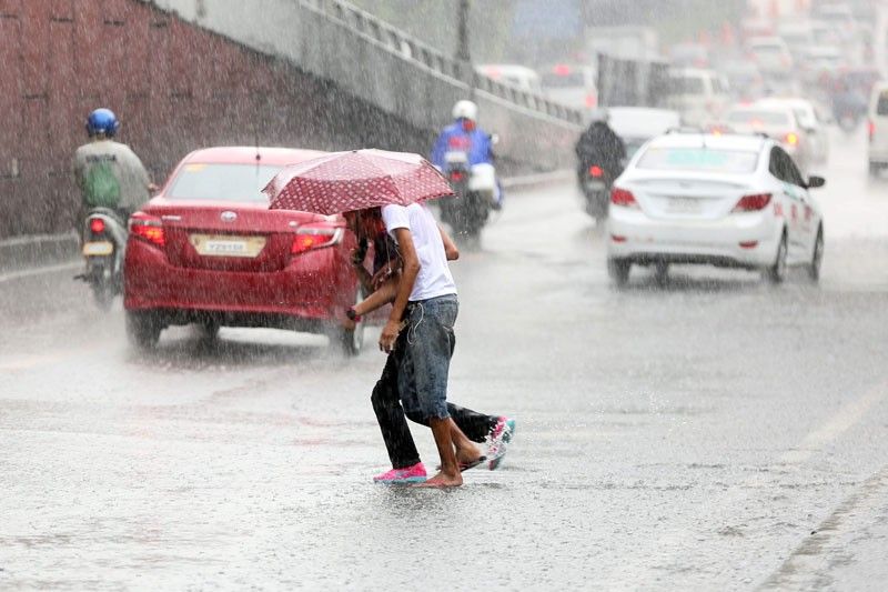
This means that the country will experience more amount of rainfall than usual from October to December, according to the PAGASA official.
Meanwhile, PAGASA researchers have developed a forecasting model that they claim will allow them to predict the occurrence of a typhoon two weeks in advance.
Cayanan said the tropical cyclone forecasting method is already being used by their weather forecasters to watch out for incoming typhoons.
In the same Friday online report to Dela Peña, Cayanan said PAGASA had previously come up with its monthly typhoon forecasts based on statistics.
The new forecasting model comprises information from Taiwan’s Central Weather Bureau and outputs of the numerical models of the National Centers for Environmental Prediction global forecast system of the United States National Oceanic and Atmospheric Administration, according to Cayanan.
“This new model, however, can give information on the exact location a tropical cyclone will form and where it will head to in the first and second weeks, so we will have projections for the next two weeks,” she said.
The meteorological expert added that they have used the model in tracking or anticipating the movement of Typhoon Ambo in May.


- Latest
- Trending