'Ambo' hardly moving, seen to weaken into low pressure area by Monday
MANILA, Philippines — Tropical depression Ambo (International name Vongfong) is forecast to weaken into a low pressure area within the next 12 to 24 hours, state weather bureau Pagasa said Sunday.
In its latest severe weather bulletin issued 5 a.m., Pagasa placed the storm's center at 125 km west northwest of Calayan, Cagayan, and predicted it would shift to 180 km north northeast of Basco, Batanes by Monday morning.
Ambo's maximum sustained winds weakened significantly to 45 kph near the center and gustiness of up to 55 kph, down from its previously recorded 65 kph near the center with gustiness of 80 kph on Saturday.
Its movement has been listed as "almost stationary."
The bureau has since lifted tropical cyclone wind signals in most areas in the country, though Tropical Cyclone Wind Signal No.1 remains over Batanes and Babuyan Islands.
"A tropical cyclone will affect the locality [while] winds of 30-60 km/h may be expected in at least 36 hours or intermittent rains may be expected within 36 hours," the bulletin read.
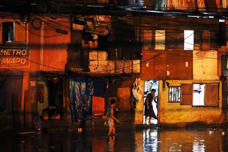
Families affected
The first storm of the year forced thousands to flee their homes amid the worsening novel coronavirus disease 2019 outbreak, further complicating the government's already-muddled response to the pandemic.
In the National Disaster Risk Reduction and Management Council's situation report on Saturday night, a total of 9,791 families or 40,980 persons in Calabarzon and Eastern Visayas were listed as affected, with on-going validation and assessment still being conducted.
According to the NDRRMC, 18,780 families or 70,398 persons were preemptively evacuated from their homes.
This, while a total of P79 million in damages to agriculture, including rice, corn, livestock, fisheries, and coconut were incurred.
Pagasa previously said in its forecast that Tuesday morning would see the cyclone 1,470 km northeast of extreme Northern Luzon, outside of the Philippine Area of Responsibility. — Franco Luna


- Latest
- Trending