Slightly weaker 'Tisoy' en route to Mindoro provinces
MANILA, Philippines — Typhoon Tisoy (Kammuri) has slightly weakened after pounding Marinduque but still packing fierce winds as it approaches the Mindoro provinces, weather forecasters said Tuesday.
The typhoon—which made its third landfall over Torrijos in Marinduque past 8 a.m.—was last spotted 55 kilometers east of Calapan City in Oriental Mindoro.
“Tisoy” now carries peak winds of 150 kph from the previous 155 kph and gusts of up to 205 kph from the previous 235 kph.
“It slightly weakened but it is still strong,” weather specialist Benison Estareja said in Filipino.
Moving west at a slightly faster pace of 25 kph, “Tisoy” is forecast to cross the provinces of Occidental and Oriental Mindoro in the afternoon.
It is projected to be over the West Philippine Sea by evening.
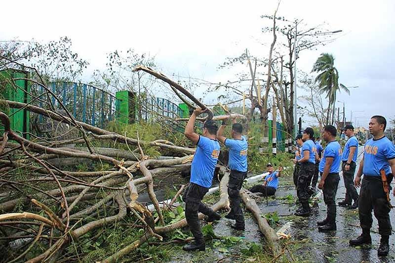
Residents of Romblon, Marinduque, Mindoro provinces, CALABARZON, Metro Manila, Bataan, Pampanga and Bulacan will experience frequent to continuous heavy to intense rains until late Tuesday afternoon.
“Tisoy” will also bring occasional to frequent heavy rains over Bicol region and the rest of Central Luzon, and intermittent heavy rains over Aklan, Antique, Capiz and the northern portions of Negros provinces.
Between late Tuesday afternoon and Wednesday morning, those living in Mindoro provinces, Metro Manila, Central Luzon, Rizal and northern Quezon (including Polillo islands) will have frequent to continuous heavy (with isolated intense rains).
Meanwhile, occasional heavy rains are expected over Cagayan Valley, Cordillera Administrative Region, Marinduque, Romblon and the rest of Calabarzon, and intermittent heavy rains over Calamian Islands.
Storm warning signals remain hoisted over some parts of Luzon and Visayas. Here are the following areas:
TCWS No. 3 (Winds between 121 kph and 170 kph in 18 hours)
- Burias Islands
- Romblon
- Southern portion of Quezon (Perez, Alabat, Quezon, Mauban, Sampaloc, Lucban, Tayabas, Pagbilao, Lucena, Sariaya, Candelaria, Dolores, Tiaong, San Antonio, Atimonan, Padre Burgos, Agdangan, Plaridel, Unisan, Pitogo, Gumaca, Lopez, Macalelon, General Luna, Calauag, Catanauan, Guinayangan, Tagkawayan, Buenavista, Mulanay, San Narciso, San Francisco, San Andres)
- Marinduque
- Oriental Mindoro
- Occidental Mindoro including Lubang Island
- Batangas
- Cavite
- Laguna
TCWS No. 2 (Winds between 61 kph and 120 kph in at least 24 hours)
- Camarines Sur
- Camarines Norte
- Albay
- Catanduanes
- Sorsogon
- Metro Manila
- Bulacan
- Bataan
- Tarlac
- Pampanga
- Nueva Ecija
- Southern Aurora (Dipaculao, Maria Aurora, Baler, San Luis, Dingalan)
- Rizal
- Rest of Quezon including Polillo Islands
- Calamian Islands (Coron, Busuanga, Culion, Linapacan)
- Cuyo Islands (Cuyo, Magsaysay, Agutaya)
- Zambales
- Pangasinan
- Masbate including Ticao Islands
- Western portion of Northern Samar (Lavezares, Allen, Biri, Rosario, Victoria, San Jose, San Isidro, Bobon, Catarman, Lope de Vega)
- Northwestern portion of Samar (Calbayog, Tagapul-am, Almagro, Sto. Niño
- Aklan
- Capiz
- Northern Antique (Caluya, Libertad, Pandan, Sebaste, Culasi, Tibiao)
TCWS No. 1 (Winds between 30 kph and 60 kph in at least 36 hours)
- Southern Isabela (Palanan, Dinapigue, San Mariano, San Guillermo, Benito Soliven, Naguilian, Reina Mercedes, Luna, Aurora, Cabatuan, San Mateo, Cauayan City, Alicia, Angadanan, Ramon, San Isidro, Echague, Cordon, Santiago City, Jones and San Agustin)
- Bengue
- Nueva Vizcaya
- Ilocos Sur
- La Union
- Quirino
- Rest of Aurora
- Northern portion of Palawan (El Nido, Taytay, Araceli, Dumaran)
- Rest of Northern Samar
- Rest of Samar
- Biliran
- Northern Negros Occidental (Talisay, Calatrava, Silay, Enrique B. Magalona, Victorias, Manapla, Cadiz, Sagay, Escalante, Toboso, Bacolod, Murcia, Salvador Benedicto, San Carlos, Bago, Pulupanadan, Valladolid, La Carlota, San Enrique, Pontevedra, La Castellana, Moises Padilla)
- Rest of Antique
- Iloilo
- Guimaras
- Leyte
PAGASA lifted wind signals over Ifugao, Mountain Province, Northern Cebu, Bohol, northern Negros Oriental, Eastern Samar and the rest of Samar.
Weather forecasters warned that storm surges up to three meters may be expected over several coastal areas in Batangas, Marinduque, Mindoro provinces, Romblon, Cavite and Batangas.
Sea travel, especially for small sea vessels, remains dangerous over the seaboards of areas under TCWS, seaboards of northern Luzon, western seaboard of Palawan, seaboards of Visayas and the northern and eastern seaboards of Mindanao.
Forecast positions
- Wednesday morning: 280 km west southwest of Subic, Zambales
- Thursday morning: 615 km west of Subic, Zambales (outside PAR)
- Friday morning: 730 km west of Coron, Palawan (outside PAR)
— Gaea Katreena Cabico


- Latest
- Trending