Heavy rains over Northern Luzon seen as 'Ramon' approaches land
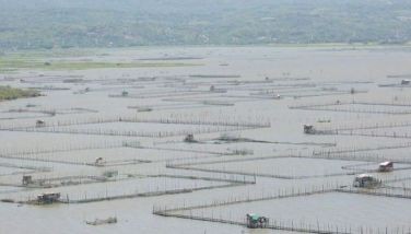
MANILA, Philippines — Those living in Northern Luzon should brace for heavy rains as Tropical Storm Ramon (Kalmaegi) spirals its way toward land, state weather bureau PAGASA said Monday.
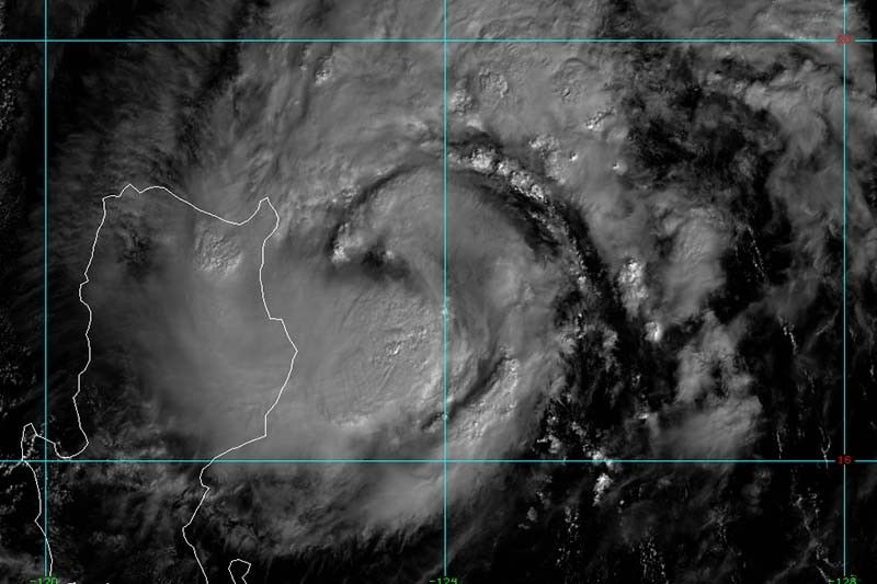
At 7 a.m., “Ramon” was spotted 190 kilometers east of Tuguegarao City, Cagayan bearing peak winds 85 kph near the center and gusts of up to 105 kph.
The tropical storm is moving northwest at 10kph and is predicted to make a landfall over northern Cagayan between Monday night and Tuesday morning.
“Ramon” is also forecast to intensify further prior landfall.
PAGASA raised Tropical Cyclone Wind Signal No. 2 over:
- Cagayan (including Babuyan Islands)
- Northern portion of Isabela (Sta. Maria, San Pablo, Maconacon, Cabagan, Sto. Tomas, Quezon, Delfino Albano, Tumauini and Divilacan)
- Apayao
- Kalinga
Residents of these areas may experience winds between 61 kph and 120 kph in at least 24 hours.
Signal No. 1, meanwhile, is hoisted over:
- Batanes
- Ilocos Norte
- Ilocos Sur
- Abra
- Mountain Province
- Ifugao
- Northern Aurora (Dilasag, Casiguran and Dinalungan)
- Rest of Isabela
Winds between 30 kph and 60 kph may be expected over these areas in at least 36 hours.
“Ramon” will dump light to moderate with occasional heavy rains over the eastern portions of mainland Cagayan and Isabela until Monday afternoon. Meanwhile, the rest of mainland Cagayan and Isabela, Babuyan Islands, northern portions of Aurora, Apayao, Kalinga, Mountain Province, Ifugao, Abra and Ilocos Norte will have light to moderate with intermittent heavy rains.
By Monday night, those living in Cagayan including Babuyan Islands, northern portion of Isabela and Apayao will experience moderate with occasional to frequent heavy rains. Meanwhile, light to moderate intermittent rains will affect Batanes, Kalinga, Abra, Ilocos Norte and the rest of Isabela.
Classes in some areas in Northern Luzon have been suspended due to inclement weather.
PAGASA also warned against sea travel over the seaboards of areas under storm signals, western seaboard of Northern Luzon, and eastern seaborads of Central and Southern Luzon.
LPA outside PAR
Weather forecasters are also monitoring a low pressure area outside the Philippine Area of Responsibility.
The LPA was spotted 1,725 km east of Eastern Visayas.
PAGASA said the weather disturbance—being monitored for potential tropical cyclone development—is expected to enter the country's jurisdiction within 24 hours.
Forecast positions of 'Ramon'
- Tuesday morning: In the vicinity of Abulug, Cagayan
- Wednesday morning: 190 km northwest of Iba, Zambales
- Thursday morning: 870 km west southwest of Dagupan City (outside PAR)


- Latest
- Trending