Slow-moving Tropical Storm Ramon hovering over Philippine Sea
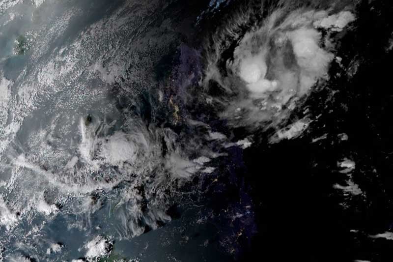
MANILA, Philippines — Tropical Storm Ramon (Kalmaegi) slightly weakened as it remained almost stationary for the past six hours, weather forecasters said late Friday afternoon.
At 4 p.m., “Ramon” was spotted 460 kilometers east of Tuguegarao City in Cagayan province, barely moving from its position late Friday morning.
The tropical storm now packs peak winds of 65 kph from the previous 75 kph and gusts of up to 80 kph from the previous 90 kph.
Tropical Cyclone Wind Signal No. 1 has been raised over:
- Eastern portion of Cagayan (Santa Ana, Gonzaga, Lal-lo, Gattaran, Baggao and Peñablanca)
- Eastern portion of Isabela (Maconacon, Divilacan, Palanan and Dinapigue)
- Northern Aurora (Dilasag, Casiguran and Dinalungan)
Those living in these areas may experience winds between 30 kph and 60 kph within 36 hours.
“Ramon” is boosting the northern monsoon or amihan, which may bring gusty conditions over Northern Luzon, especially residents of coastal and mountainous areas.
PAGASA warned against sea travel, especially for small sea vessels, over the seaboards of areas under TCWS, the seaboards of Northern Luzon, and the eastern seaboards of Central and Southern Luzon.
The tropical storm will bring light to moderate with intermittent heavy rains over the eastern portions of Cagayan and Isabela as well as northern Aurora on Saturday.
By Sunday, residents of the eastern portions of Cagayan and Isabela may experience light to moderate with occasional heavy rains as “Ramon” is seen to move closer to Northern Luzon. Meanwhile, light to moderate with intermittent heavy rains may be expected over Apayao, northern Aurora, and the rest of Isabela and Cagayan.
“Ramon” is forecast to make a landfall on Sunday. By Wednesday, it will leave the Philippine Area of Responsibility as a tropical depression.
Forecast positions
- Saturday afternoon: 330 km east of Casiguran, Aurora
- Sunday afternoon: 200 km east of Tuguegarao City, Cagayaan
- Monday afternoon: 20 km east northeast of Aparri, Cagayan
- Tuesday afternoon: 110 km west northwest of Sinait, Ilocos Sur
- Wednesday afternoon: 550 km west of Iba, Zambales (outside PAR)


- Latest
- Trending