Signal No. 1 up over 7 areas as ‘Ramon’ develops into a tropical storm
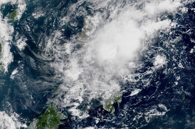
MANILA, Philippines — Seven areas in Southern Luzon and Visayas are under Tropical Cyclone Wind Signal No. 1 as “Ramon” (Kalmaegi) intensifies into a tropical storm Wednesday morning.
State weather bureau PAGASA raised Signal No. 1 over Camarines Norte, Camarines Sur, Catanduanes, Albay, Sorsogon, Eastern Samar and Northern Samar. Residents of these areas may experience winds between 30 kilometers per hour and 60 kph or intermittent rains within 36 hours.
The center of “Ramon” was last seen either at 385 km east northeast of Borongan City in Eastern Samar or at 450 km east of Catarman in Northern Samar.
The tropical storm packs peak winds up 65 kph near the center and gusts of up to 80 kph. It is moving west northwest at 20 kph from the previous 15 kph.
Landfall scenario over Northern Luzon is expected.
Occasional heavy rains
“Ramon” will dump light to moderate with occasional heavy rains over Catanduanes, Camarines Sur, Albay and Sorsogon today. Meanwhile, residents of Camarines Norte, Masbate, Northern Samar and Eastern Samar may experience Camarines Norte, Masbate, Northern Samar and Eastern Samar.
By Thursday, light to moderate with occasional heavy rains may affect east portion of Cagayan, Isabela and Northern Aurora as “Ramon” makes its way up north. Meanwhile, those living in Bicol region, Apayao, Quezon, Northern Samar and the rest of Cagayan, Isabela and Aurora may have light to moderate with intermittent heavy rains.
PAGASA advised residents of these areas, especially those living in areas identified to be highly or very highly susceptible to flooding and rain-induced landslides, to take precautionary measures, coordinate with local disaster risk reduction and management offices and continue monitoring for updates.
Sea travel is dangerous, especially for small sea vessels, over the seaboards of areas under TCWS, the seaboards of Northern Luzon and the eastern seaboards of Central and Southern Luzon.
Forecast positions
- Thursday morning: 180 km northeast of Virac, Catanduanes
- Friday morning: 250 km east of Baler, Aurora
- Saturday morning: 65 km east northeast of Casiguran, Aurora
- Sunday morning: 75 km west northwest of Laoag City, Ilocos Norte


- Latest
- Trending